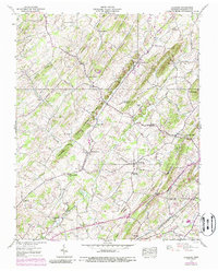
1939 Map of Leesburg
USGS Topo · Published 1988About this map
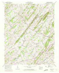
The agrarian hills of Washington County are captured here just before the mid-century, defined by a network of ridges such as Chestnut Ridge and Dunham Ridge. The community of Leesburg and the nearby Bowmantown serve as local hubs, with social life centered around rural institutions like the Bowmantown Sch and Mountain View Sch. The landscape is dotted with several houses of worship, including the Union Tabernacle and Dunkard Ch, reflecting the deep-rooted settlement patterns of the era.
Find a feature on this map
51 named features on this map. Tap any name to fly to it.
Don’t see what you’re looking for? This feature index may not catch every label — zoom into the map to look around manually.
Map Details
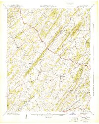
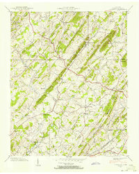
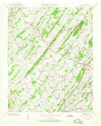
Editions of this 1939 Leesburg Map
5 editions found
Other maps of this area

1891 · Roan Mountain
USGS Topo · 1:125,000

1892 · Greeneville
USGS Topo · 1:125,000

1894 · Roan Mountain
USGS Topo · 1:125,000

1896 · Greeneville
USGS Topo · 1:125,000

1904 · Roan Mountain
USGS Topo · 1:125,000

1904 · Greeneville
USGS Topo · 1:125,000

1935 · Lovelace
USGS Topo · 1:24,000

1935 · Sullivan Gardens
USGS Topo · 1:24,000

1935 · Leesburg
USGS Topo · 1:24,000

1935 · Erwin
USGS Topo · 1:24,000