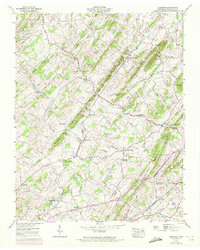
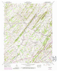
1939 Map of Leesburg
USGS Topo · Published 1972About this map
Leesburg and its surrounding hamlets are captured here during a period of transition in the late 1930s. The landscape is defined by the drainage of Limestone Creek and the Muddy Fork, which supported several rural nodes such as Bowmantown and Hartmantown. The map reveals a high density of community landmarks, including Dunkard Ch, Zion Ch, and New Hope Ch, alongside essential local institutions like the Mountain View Sch.
Find a feature on this map
60 named features on this map. Tap any name to fly to it.
Don’t see what you’re looking for? This feature index may not catch every label — zoom into the map to look around manually.
Map Details
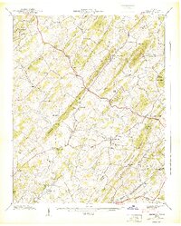
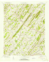
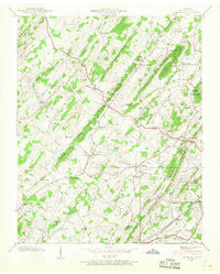
Editions of this 1939 Leesburg Map
5 editions found
Other maps of this area

1891 · Roan Mountain
USGS Topo · 1:125,000

1892 · Greeneville
USGS Topo · 1:125,000

1894 · Roan Mountain
USGS Topo · 1:125,000

1896 · Greeneville
USGS Topo · 1:125,000

1904 · Roan Mountain
USGS Topo · 1:125,000

1904 · Greeneville
USGS Topo · 1:125,000

1935 · Lovelace
USGS Topo · 1:24,000

1935 · Sullivan Gardens
USGS Topo · 1:24,000

1935 · Leesburg
USGS Topo · 1:24,000

1935 · Erwin
USGS Topo · 1:24,000