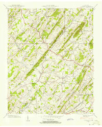
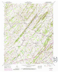
1939 Map of Leesburg
USGS Topo · Published 1956About this map
The ridge-and-valley landscape of Washington County comes into sharp focus through this late-1930s survey by the Tennessee Valley Authority and USGS. The area is defined by a dense network of rural infrastructure, including Keebler Institute and numerous educational landmarks like Glendale Sch and Allegheny Sch. The settlement patterns follow the natural breaks in the terrain, with Leesburg and Bowmantown serving as local hubs.
Find a feature on this map
62 named features on this map. Tap any name to fly to it.
Don’t see what you’re looking for? This feature index may not catch every label — zoom into the map to look around manually.
Map Details
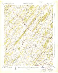
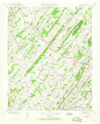
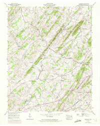
Editions of this 1939 Leesburg Map
5 editions found
Other maps of this area

1891 · Roan Mountain
USGS Topo · 1:125,000

1892 · Greeneville
USGS Topo · 1:125,000

1894 · Roan Mountain
USGS Topo · 1:125,000

1896 · Greeneville
USGS Topo · 1:125,000

1904 · Roan Mountain
USGS Topo · 1:125,000

1904 · Greeneville
USGS Topo · 1:125,000

1935 · Lovelace
USGS Topo · 1:24,000

1935 · Sullivan Gardens
USGS Topo · 1:24,000

1935 · Leesburg
USGS Topo · 1:24,000

1935 · Erwin
USGS Topo · 1:24,000