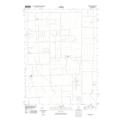
2010 Map of Leesville
USGS Topo · Published 2010About this map
Hopkins Park and the surrounding rural landscape in Kankakee County are defined by a grid-like system of local roads and a sophisticated network of drainage infrastructure. This area, located near the Illinois-Indiana border, relies on the management of water through features such as Johnson Ditch and the Riner Houseworth Ditch to maintain its agricultural character. Small residential clusters and historic place names like Tallmadge, Leesville, and Doney dot the prairie, while Saint Anne Woods provides a distinct change in the local settlement pattern. Genealogists may find value in the location of Morgan Cemetery on the eastern edge of the quadrangle. The map also traces the winding course of Little Beaver Creek as it cuts across the section lines, and notes localized developments such as the Bible Camp near Spring Creek.
Find a feature on this map
36 named features on this map. Tap any name to fly to it.
Don’t see what you’re looking for? This feature index may not catch every label — zoom into the map to look around manually.
Map Details
Editions of this 2010 Leesville Map
This is the sole edition of this map. No revisions or reprints were ever made.
Other maps of this area

1922 · Momence
USGS Topo · 1:62,500

1924 · Momence
USGS Topo · 1:62,500

1935 · Watseka
USGS Topo · 1:48,000

1939 · Watseka
USGS Topo · 1:62,500

1953 · Chicago
USGS Topo · 1:250,000

1953 · Danville
USGS Topo · 1:250,000

1955 · Danville
USGS Topo · 1:250,000

1956 · Danville
USGS Topo · 1:250,000

1957 · Chicago
USGS Topo · 1:250,000

1959 · Schneider
USGS Topo · 1:24,000