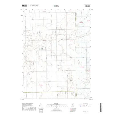
2018 Map of Leesville
USGS Topo · Published 2018About this map
Hopkins Park and the smaller settlement of Leesville anchor this portion of the Illinois-Indiana state line, where the landscape is defined by an extensive network of drainage infrastructure. This drainage system, including Best Ditch, Redden Ditch, and the Riner Houseworth Ditch, reflects the late 19th and early 20th-century efforts to reclaim the marshy wetlands of the Kankakee River basin for agricultural production. Natural watercourses like Spring Cr and Little Beaver Cr wind through the township lines, though their paths are frequently intercepted by the rigid grid of county roads.
Find a feature on this map
93 named features on this map. Tap any name to fly to it.
Don’t see what you’re looking for? This feature index may not catch every label — zoom into the map to look around manually.
Map Details
Editions of this 2018 Leesville Map
This is the sole edition of this map. No revisions or reprints were ever made.
Other maps of this area

1922 · Momence
USGS Topo · 1:62,500

1924 · Momence
USGS Topo · 1:62,500

1935 · Watseka
USGS Topo · 1:48,000

1939 · Watseka
USGS Topo · 1:62,500

1953 · Chicago
USGS Topo · 1:250,000

1953 · Danville
USGS Topo · 1:250,000

1955 · Danville
USGS Topo · 1:250,000

1956 · Danville
USGS Topo · 1:250,000

1957 · Chicago
USGS Topo · 1:250,000

1959 · Schneider
USGS Topo · 1:24,000