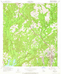
1954 Map of Leesville
USGS Topo · Published 1965About this map
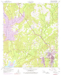
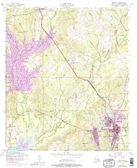
Leesville serves as the primary hub in this mid-century portrait of Vernon Parish, anchored by the Kansas City Southern railroad line and the expansive Anacoco Lake to the southwest. The landscape is defined by its social and civic infrastructure, from the War Memorial Hospital and F B Younger Infirmary to numerous country congregations such as Holly Grove Church, Shady Grove Church, and White Pine Church. The mapping of several dismantled railroad segments hints at the evolving timber and transport economy of the region.
Find a feature on this map
36 named features on this map. Tap any name to fly to it.
Don’t see what you’re looking for? This feature index may not catch every label — zoom into the map to look around manually.
Map Details
Editions of this 1954 Leesville Map
6 editions found
Other maps of this area

1941 · Leesville
USGS Topo · 1:62,500

1941 · Slagle
USGS Topo · 1:62,500

1942 · Florien
USGS Topo · 1:62,500

1942 · Kisatchie
USGS Topo · 1:62,500

1943 · Leesville
USGS Topo · 1:62,500

1943 · Kisatchie
USGS Topo · 1:62,500

1944 · Florien
USGS Topo · 1:62,500

1944 · Slagle
USGS Topo · 1:62,500

1946 · Leesville
USGS Topo · 1:62,500

1948 · Leesville
USGS Topo · 1:62,500