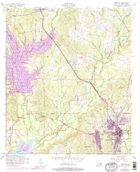
1954 Map of Leesville
USGS Topo · Published 1977About this map
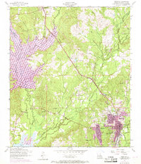
Leesville serves as the focal point of this mid-century survey, showing the city's expansion during the post-war years alongside the sprawling waters of Anacoco Lake. The geography is defined by a dense network of watercourses, including Bayou Anacoco, East Anacoco Creek, and West Anacoco Creek, which carve through the Vernon Parish landscape. Civil infrastructure is prominently marked, from the Kansas City Southern rail line to several health and education facilities like the J B Younger Infirmary, War Memorial Hospital, and Saint Michaels School. The mapping of numerous rural institutions, such as Pine Hill Church, White Park Church, and the Leonidas Polk Memorial Church, provides a clear view of the social fabric of the era. Evidence of previous industrial eras appears in the form of several segments of Dismantled railroad that crisscross the terrain north of the city.
Find a feature on this map
35 named features on this map. Tap any name to fly to it.
Don’t see what you’re looking for? This feature index may not catch every label — zoom into the map to look around manually.
Map Details
Editions of this 1954 Leesville Map
6 editions found
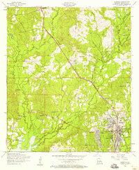
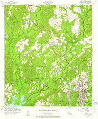
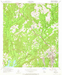
Other maps of this area

1941 · Leesville
USGS Topo · 1:62,500

1941 · Slagle
USGS Topo · 1:62,500

1942 · Florien
USGS Topo · 1:62,500

1942 · Kisatchie
USGS Topo · 1:62,500

1943 · Leesville
USGS Topo · 1:62,500

1943 · Kisatchie
USGS Topo · 1:62,500

1944 · Florien
USGS Topo · 1:62,500

1944 · Slagle
USGS Topo · 1:62,500

1946 · Leesville
USGS Topo · 1:62,500

1948 · Leesville
USGS Topo · 1:62,500