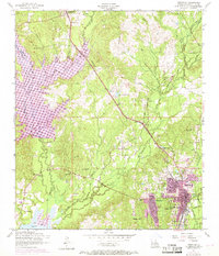
1954 Map of Leesville
USGS Topo · Published 1969About this map
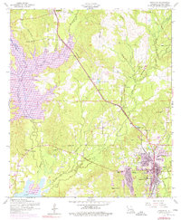
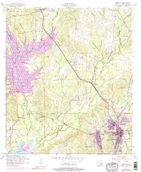
The parish seat of Leesville serves as the focal point of this West Louisiana landscape, situated alongside the Fort Polk Military Reservation during a period of post-war growth. The town's infrastructure includes the Kansas City Southern railroad line and significant local institutions such as the Leondas Polk Memorial Church and Saint Michaels School. To the west, the expansive Anacoco Lake and Bayou Anacoco dominate the terrain, reflecting the area's complex drainage network of creeks and branches.
Find a feature on this map
36 named features on this map. Tap any name to fly to it.
Don’t see what you’re looking for? This feature index may not catch every label — zoom into the map to look around manually.
Map Details
Editions of this 1954 Leesville Map
6 editions found
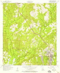
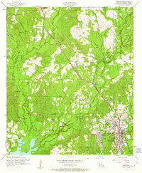
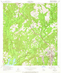
Other maps of this area

1941 · Leesville
USGS Topo · 1:62,500

1941 · Slagle
USGS Topo · 1:62,500

1942 · Florien
USGS Topo · 1:62,500

1942 · Kisatchie
USGS Topo · 1:62,500

1943 · Leesville
USGS Topo · 1:62,500

1943 · Kisatchie
USGS Topo · 1:62,500

1944 · Florien
USGS Topo · 1:62,500

1944 · Slagle
USGS Topo · 1:62,500

1946 · Leesville
USGS Topo · 1:62,500

1948 · Leesville
USGS Topo · 1:62,500