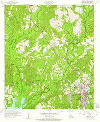
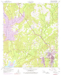
1954 Map of Leesville
USGS Topo · Published 1963About this map
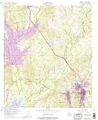
The city of Leesville serves as a major hub in this 1950s survey, showing a dense grid of development complete with the War Memorial Hospital, J B Younger Infirmary, and Saint Michaels School. The Kansas City Southern railway cuts a diagonal path across the parish, passing through the northern settlement of Anacoco and the community at Hawthorne. This era reflects a landscape transitioning from rail reliance to a highway-based economy along Route 171.
Find a feature on this map
39 named features on this map. Tap any name to fly to it.
Don’t see what you’re looking for? This feature index may not catch every label — zoom into the map to look around manually.
Map Details
Editions of this 1954 Leesville Map
6 editions found
Other maps of this area

1941 · Leesville
USGS Topo · 1:62,500

1941 · Slagle
USGS Topo · 1:62,500

1942 · Florien
USGS Topo · 1:62,500

1942 · Kisatchie
USGS Topo · 1:62,500

1943 · Leesville
USGS Topo · 1:62,500

1943 · Kisatchie
USGS Topo · 1:62,500

1944 · Florien
USGS Topo · 1:62,500

1944 · Slagle
USGS Topo · 1:62,500

1946 · Leesville
USGS Topo · 1:62,500

1948 · Leesville
USGS Topo · 1:62,500