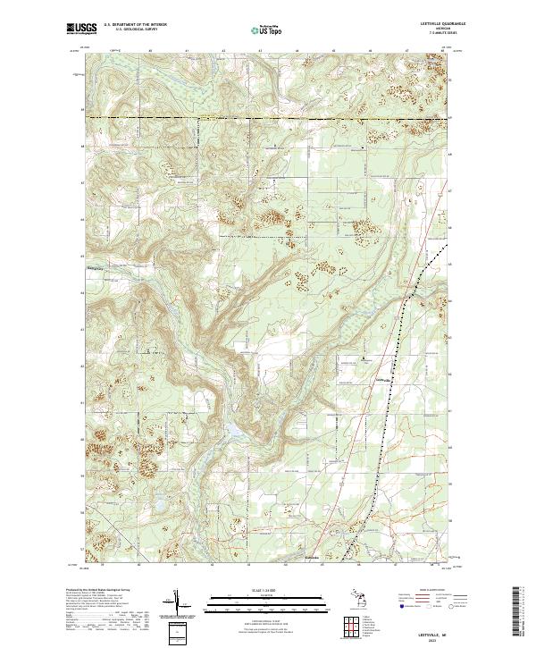
2023 Map of Leetsville
USGS Topo · Published 2023About this map
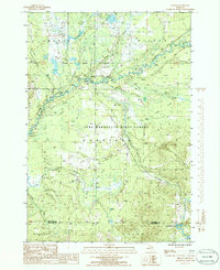
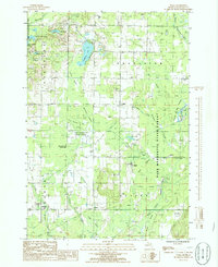
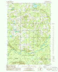
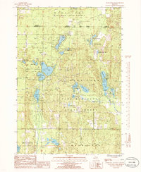
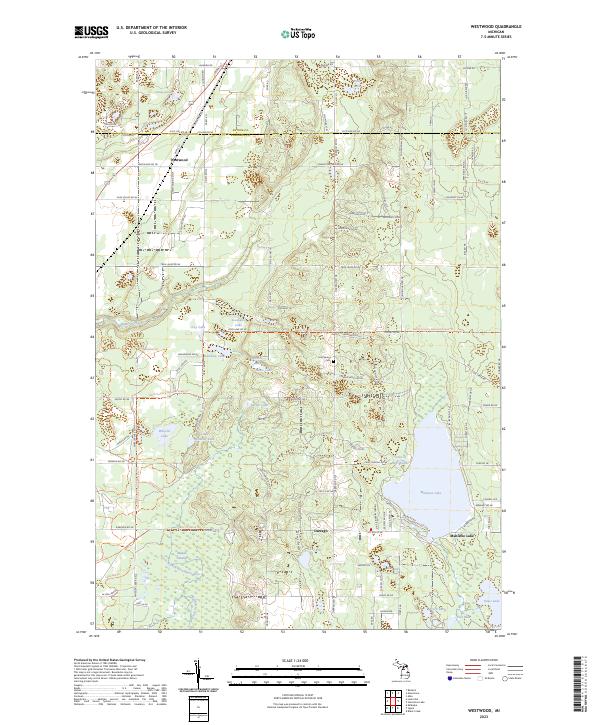
Rapid River and the Little Rapid River carve through the glacial landscape of Antrim and Kalkaska counties, defining the character of this northern Michigan region. The settlement of Leetsville sits at a crossroads of transport, while Rapid City occupies the western edge of the survey area. For local historians and genealogists, the map identifies specific burial grounds including Westwood Cem and Maplegrove Cem, as well as numerous family-named roads such as McPherson Rd and Rutton Rd. The presence of Rugg Pond and several small lakes like Bird Lake and Barnard Lake suggests a landscape shaped by water and low-lying wetlands. Extensive trail systems like Ricksgers Logging Trl hint at the area's ongoing relationship with the timber industry, providing a clear view of how rural development and natural drainage patterns coincide in the modern era.
Find a feature on this map
112 named features on this map. Tap any name to fly to it.
Don’t see what you’re looking for? This feature index may not catch every label — zoom into the map to look around manually.
Map Details
Editions of this 2023 Leetsville Map
This is the sole edition of this map. No revisions or reprints were ever made.
Historical Maps of Antrim County Through Time
19 maps found
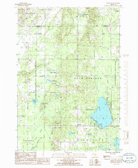
1949 Black Creek
Kalkaska County, MI

1949 Fletcher
Kalkaska County, MI
1950 Fletcher
Kalkaska County, MI

1983 Torch River
Kalkaska County, MI
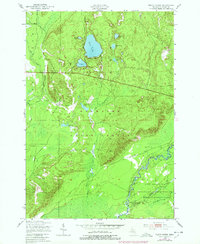
1985 Leetsville
Kalkaska County, MI
1985 Sharon
Kalkaska County, MI
1985 Sigma
Kalkaska County, MI
1985 Smithville
Kalkaska County, MI
1985 Starvation Lake
Kalkaska County, MI
1985 Westwood
Kalkaska County, MI
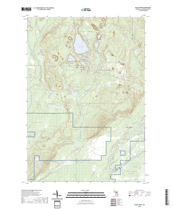
2023 Black Creek
Kalkaska County, MI
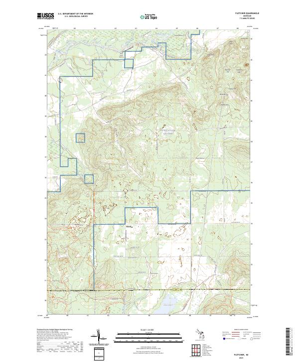
2023 Fletcher
Kalkaska County, MI
2023 Leetsville
Kalkaska County, MI
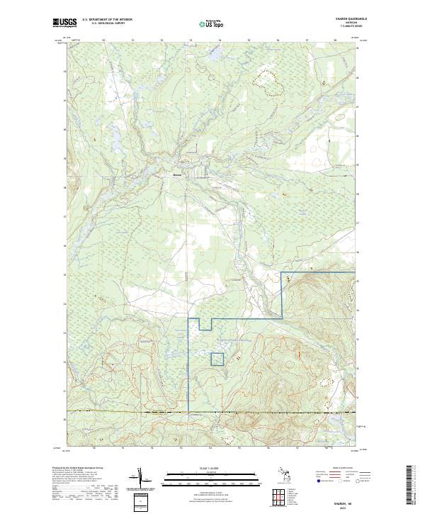
2023 Sharon
Kalkaska County, MI
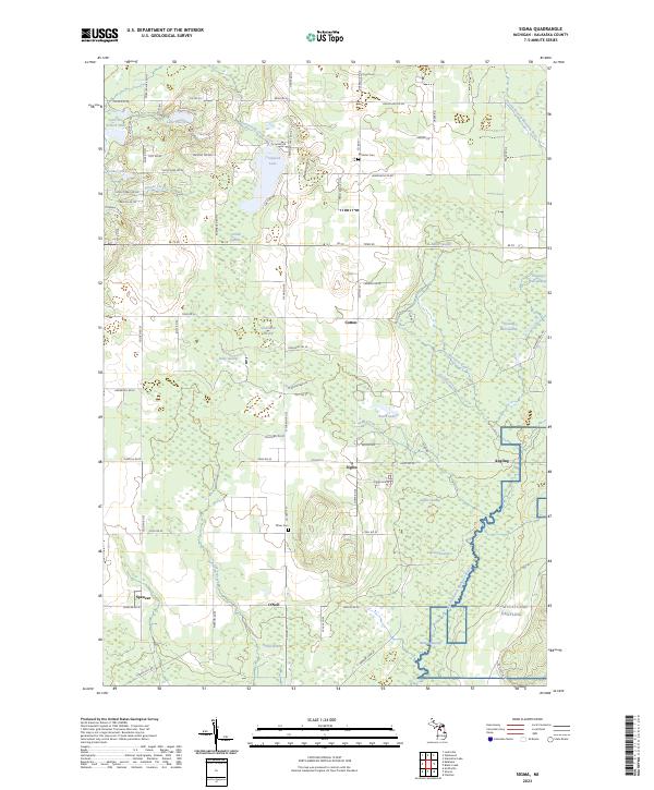
2023 Sigma
Kalkaska County, MI
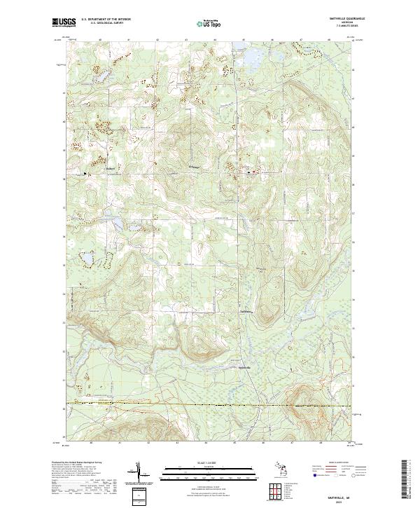
2023 Smithville
Kalkaska County, MI
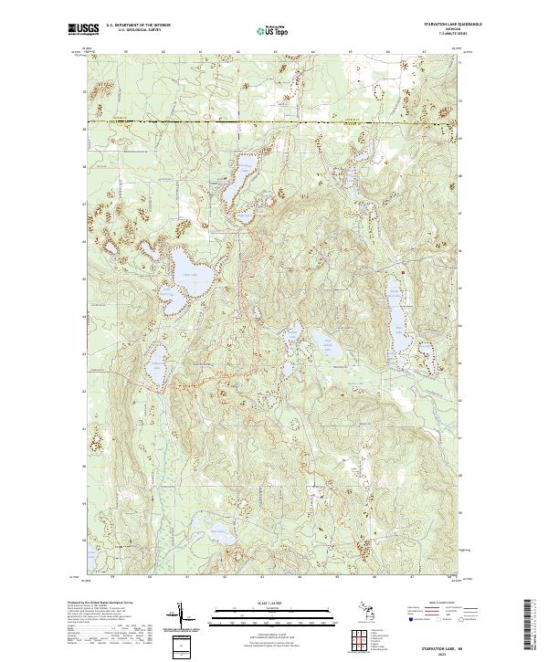
2023 Starvation Lake
Kalkaska County, MI
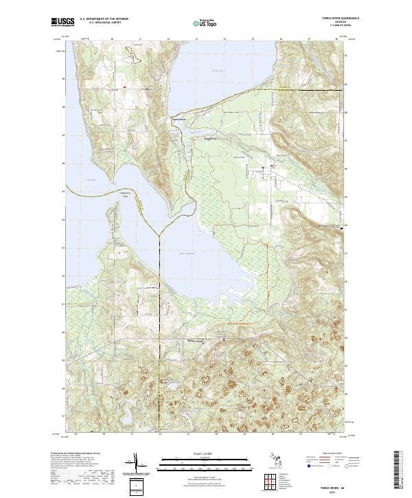
2023 Torch River
Kalkaska County, MI
2023 Westwood
Kalkaska County, MI
Featured Locations
- Custer Township, MI
- Helena Township, MI
- Clearwater Township, MI
- Rapid River Township, MI
- Kalkaska, Kalkaska Township