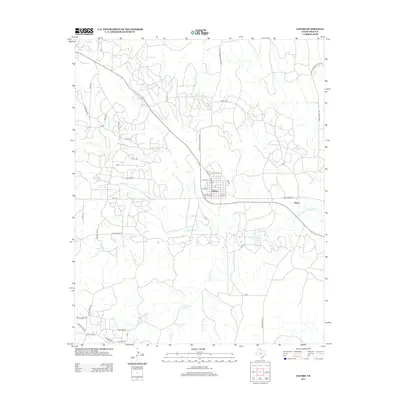
2012 Map of Lefors
USGS Topo · Published 2012About this map
The N Fork Red River snakes through the center of this Gray County landscape, where the town of Lefors sits at the intersection of several regional routes. The map illustrates a transitional rural economy, evidenced by local infrastructure like Sun Oil Rd and Dancinger Rd, which hint at the petroleum and ranching heritage of the Texas Panhandle. To the east, the small settlement of Wesco is positioned along Ranch Road 1321 near where the river continues its eastward path.
Find a feature on this map
46 named features on this map. Tap any name to fly to it.
Don’t see what you’re looking for? This feature index may not catch every label — zoom into the map to look around manually.
Map Details
Editions of this 2012 Lefors Map
This is the sole edition of this map. No revisions or reprints were ever made.
Other maps of this area

1954 · Amarillo
USGS Topo · 1:250,000

1958 · Amarillo
USGS Topo · 1:250,000

1962 · Hudgens Ranch
USGS Topo · 1:24,000

1962 · Pond Creek NW
USGS Topo · 1:24,000

1963 · Pampa
USGS Topo · 1:24,000

1966 · Laketon
USGS Topo · 1:24,000

1966 · Bowers City
USGS Topo · 1:24,000

1967 · Lefors
USGS Topo · 1:24,000

1967 · Hoover
USGS Topo · 1:24,000

1968 · Taylor Ranch
USGS Topo · 1:24,000