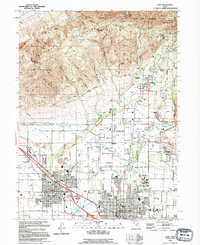
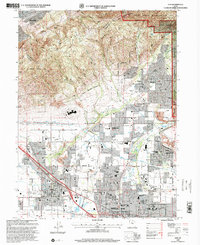
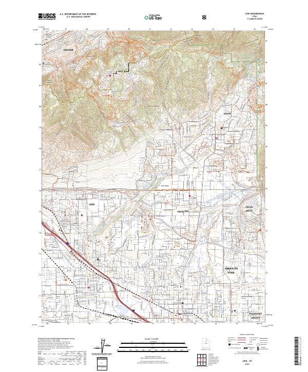
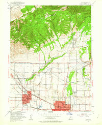
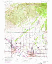
1951 Map of Lehi
USGS Topo · Published 1953About this map
Lehi and American Fork anchor the southern plains of this Utah County landscape in the early 1950s, a period when the region's agricultural roots remained visible alongside growing municipal infrastructure. The complex water management system is a defining characteristic, featuring the Provo Reservoir Canal and the Salt Lake City Aqueduct, which weave between the foothill communities. To the north, the terrain rises sharply into the Traverse Mountains and the Wasatch Range, where the boundary of the Wasatch National Forest meets rugged landmarks like Jacobs Ladder and Lone Rock.
Find a feature on this map
48 named features on this map. Tap any name to fly to it.
Don’t see what you’re looking for? This feature index may not catch every label — zoom into the map to look around manually.
Map Details
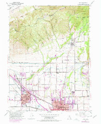
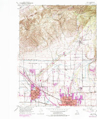
Editions of this 1951 Lehi Map
5 editions found
Historical Maps of Westbury Through Time
4 maps found