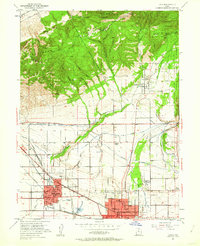
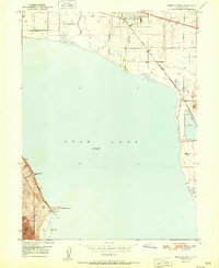
1951 Map of Lehi
USGS Topo · Published 1962About this map
Lehi and American Fork anchor this 1951 topographic survey, showing the agricultural and rail-oriented landscape of northern Utah County during a period of steady post-war growth. The valley floor is crisscrossed by an intricate network of irrigation systems, including the Provo Reservoir Canal, Cedar Hollow Ditch, and the Salt Lake City Aqueduct, reflecting the critical importance of water management at the base of the Wasatch Range. To the north, the terrain rises sharply into the Traverse Mountains and the Uinta National Forest, where features like Jacobs Ladder and First Hamongog mark the transition into the high wilderness.
Find a feature on this map
68 named features on this map. Tap any name to fly to it.
Don’t see what you’re looking for? This feature index may not catch every label — zoom into the map to look around manually.
Map Details
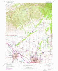
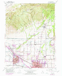
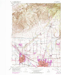
Editions of this 1951 Lehi Map
5 editions found

Other maps of this area

1885 · Salt Lake
USGS Topo · 1:250,000

1925 · Ft. Douglas
USGS Topo · 1:125,000

1928 · Ft. Douglas
USGS Topo · 1:125,000

1948 · Timpanogos Cave
USGS Topo · 1:24,000

1948 · Orem
USGS Topo · 1:24,000

1948 · Orem
USGS Topo · 1:62,500

1950 · Orem
USGS Topo · 1:24,000

1950 · Timpanogos Cave
USGS Topo · 1:24,000

1950 · Pelican Point
USGS Topo · 1:24,000
1951 · Pelican Point
USGS Topo · 1:24,000