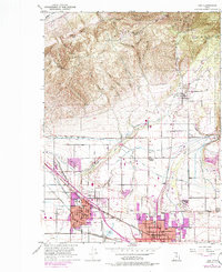
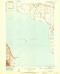
1951 Map of Lehi
USGS Topo · Published 1986About this map
American Fork and Lehi serve as the primary anchors of this landscape during a period of notable growth along the northern shores of Utah Lake. The map illustrates a complex water management system essential to this valley, featuring the Salt Lake City Aqueduct, Bull River Canal, and Harmon Ditch alongside natural features like Mill Pond and Dry Creek. The transition from the developed valley floor to the steep elevations of the Wasatch Range is marked by the Uinta National Forest boundary and numerous canyons like Corner Canyon and Box Elder Canyon.
Find a feature on this map
55 named features on this map. Tap any name to fly to it.
Don’t see what you’re looking for? This feature index may not catch every label — zoom into the map to look around manually.
Map Details
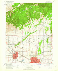
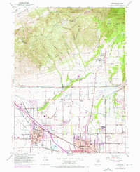
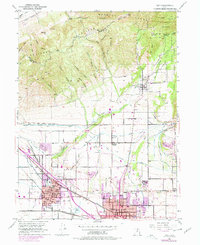
Editions of this 1951 Lehi Map
5 editions found

Other maps of this area

1885 · Salt Lake
USGS Topo · 1:250,000

1925 · Ft. Douglas
USGS Topo · 1:125,000

1928 · Ft. Douglas
USGS Topo · 1:125,000

1948 · Timpanogos Cave
USGS Topo · 1:24,000

1948 · Orem
USGS Topo · 1:24,000

1948 · Orem
USGS Topo · 1:62,500

1950 · Orem
USGS Topo · 1:24,000

1950 · Timpanogos Cave
USGS Topo · 1:24,000

1950 · Pelican Point
USGS Topo · 1:24,000
1951 · Pelican Point
USGS Topo · 1:24,000