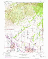
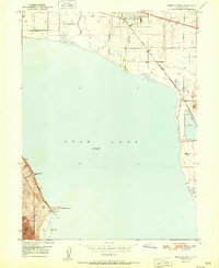
1951 Map of Lehi
USGS Topo · Published 1970About this map
The Wasatch Range and Traverse Mountains dominate the northern landscape, where names like Potato Hill and Red Rock mark the transition from the mountains to the valley floor. In this mid-century period, the growing communities of Lehi, American Fork, and Alpine sit at the crossroads of vital water and transportation systems. The infrastructure of the era is clearly visible through the Provo Reservoir Canal and the Salt Lake City Aqueduct, which channel water across the benchlands to support both agriculture and urban development.
Find a feature on this map
48 named features on this map. Tap any name to fly to it.
Don’t see what you’re looking for? This feature index may not catch every label — zoom into the map to look around manually.
Map Details
Editions of this 1951 Lehi Map
5 editions found

Other maps of this area

1885 · Salt Lake
USGS Topo · 1:250,000

1925 · Ft. Douglas
USGS Topo · 1:125,000

1928 · Ft. Douglas
USGS Topo · 1:125,000

1948 · Timpanogos Cave
USGS Topo · 1:24,000

1948 · Orem
USGS Topo · 1:24,000

1948 · Orem
USGS Topo · 1:62,500

1950 · Orem
USGS Topo · 1:24,000

1950 · Timpanogos Cave
USGS Topo · 1:24,000

1950 · Pelican Point
USGS Topo · 1:24,000
1951 · Pelican Point
USGS Topo · 1:24,000