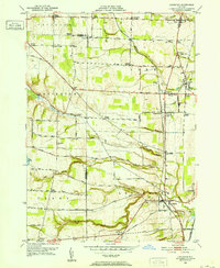
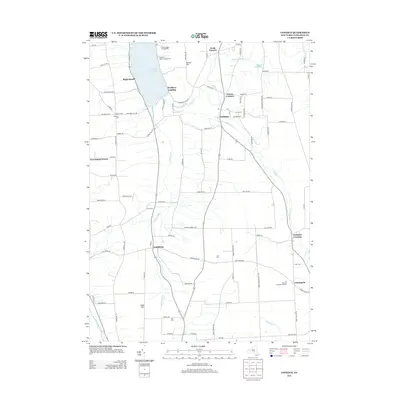
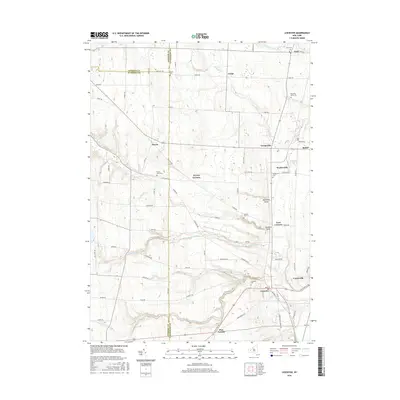
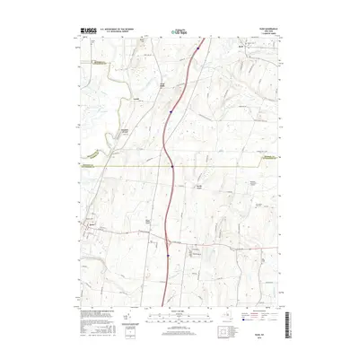
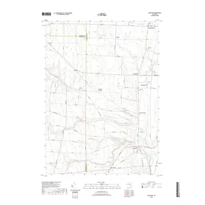
1951 Map of Leicester
USGS Topo · Published 1952About this map
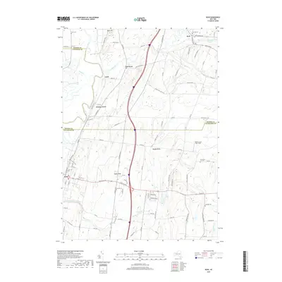
Leicester and the surrounding Genesee Valley countryside appear in this mid-century topographic record, showing a landscape defined by agriculture and extraction. Near Greigsville, an Inactive Salt Mine stands alongside the Delaware Lackawanna and Western RR and the Genesee and Wyoming RR, marking the region's industrial heritage. The map is particularly rich in family-named crossroads like Allens Corners, Roots Corners, and Simmons Corners, reflecting a settled rural social structure that centered around local landmarks such as Covington Ch and the York Central Sch.
Find a feature on this map
82 named features on this map. Tap any name to fly to it.
Don’t see what you’re looking for? This feature index may not catch every label — zoom into the map to look around manually.
Map Details
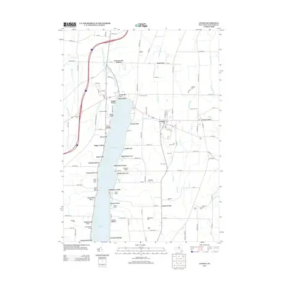
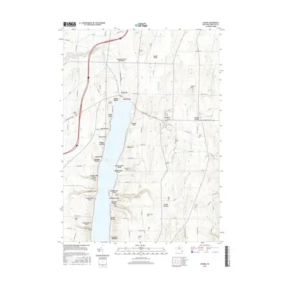
Editions of this 1951 Leicester Map
3 editions found
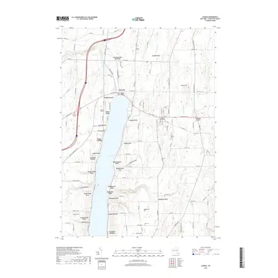
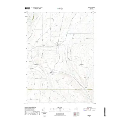
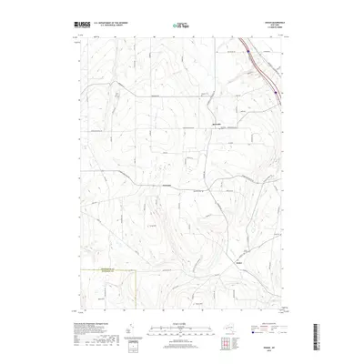
Historical Maps of Perry Through Time
81 maps found

1902 Wayland
Livingston County, NY

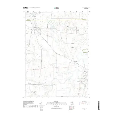
1904 Caledonia
Livingston County, NY

1904 Wayland
Livingston County, NY

1905 Nunda
Livingston County, NY

1934 Rush
Livingston County, NY

1942 Conesus
Livingston County, NY

1942 Livonia
Livingston County, NY

1943 Mount Morris
Livingston County, NY

1943 Nunda
Livingston County, NY

1943 Ossian
Livingston County, NY

1943 Sonyea
Livingston County, NY

1944 Geneseo
Livingston County, NY

1944 Leicester
Livingston County, NY

1944 Mount Morris
Livingston County, NY

1944 Nunda
Livingston County, NY

1944 Ossian
Livingston County, NY

1944 Sonyea
Livingston County, NY

1950 Caledonia
Livingston County, NY

1950 Geneseo
Livingston County, NY

1951 Caledonia
Livingston County, NY

1951 Leicester
Livingston County, NY

1951 Livonia
Livingston County, NY

1951 Rush
Livingston County, NY

1957 Conesus
Livingston County, NY

1964 Conesus
Livingston County, NY

1971 Rush
Livingston County, NY

1972 Mount Morris
Livingston County, NY

1972 Nunda
Livingston County, NY

1972 Ossian
Livingston County, NY

1972 Sonyea
Livingston County, NY

1983 Canandaigua
Livingston County, NY

2010 Caledonia
Livingston County, NY

2010 Conesus
Livingston County, NY

2010 Geneseo
Livingston County, NY

2010 Leicester
Livingston County, NY
2010 Livonia
Livingston County, NY

2010 Mount Morris
Livingston County, NY
2010 Nunda
Livingston County, NY

2010 Ossian
Livingston County, NY

2010 Rush
Livingston County, NY

2010 Sonyea
Livingston County, NY

2013 Caledonia
Livingston County, NY
2013 Conesus
Livingston County, NY

2013 Geneseo
Livingston County, NY

2013 Leicester
Livingston County, NY
2013 Livonia
Livingston County, NY

2013 Mount Morris
Livingston County, NY
2013 Nunda
Livingston County, NY

2013 Ossian
Livingston County, NY

2013 Rush
Livingston County, NY

2013 Sonyea
Livingston County, NY

2016 Caledonia
Livingston County, NY
2016 Conesus
Livingston County, NY

2016 Geneseo
Livingston County, NY
2016 Leicester
Livingston County, NY
2016 Livonia
Livingston County, NY

2016 Mount Morris
Livingston County, NY
2016 Nunda
Livingston County, NY
2016 Ossian
Livingston County, NY
2016 Rush
Livingston County, NY

2016 Sonyea
Livingston County, NY
2019 Caledonia
Livingston County, NY
2019 Conesus
Livingston County, NY
2019 Geneseo
Livingston County, NY
2019 Leicester
Livingston County, NY
2019 Livonia
Livingston County, NY

2019 Mount Morris
Livingston County, NY
2019 Nunda
Livingston County, NY
2019 Ossian
Livingston County, NY
2019 Rush
Livingston County, NY

2019 Sonyea
Livingston County, NY

2023 Caledonia
Livingston County, NY

2023 Conesus
Livingston County, NY

2023 Geneseo
Livingston County, NY

2023 Leicester
Livingston County, NY

2023 Livonia
Livingston County, NY

2023 Mount Morris
Livingston County, NY

2023 Nunda
Livingston County, NY

2023 Ossian
Livingston County, NY

2023 Rush
Livingston County, NY

2023 Sonyea
Livingston County, NY