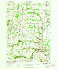
1951 Map of Leicester
USGS Topo · Published 1965About this map
Leicester and York anchor this mid-century survey of the Genesee River valley, where agricultural lands meet an industrial railroad corridor. The landscape is marked by a dense network of hamlets and crossroads, including Retsof, Greigsville, and Cuylerville, many of which were shaped by the local salt industry and proximity to the Pennsylvania Railroad and the Erie Railroad. A notable industrial landmark is the Salt Mine (Inactive) near Greigsville Sta.
Find a feature on this map
85 named features on this map. Tap any name to fly to it.
Don’t see what you’re looking for? This feature index may not catch every label — zoom into the map to look around manually.
Map Details
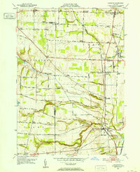
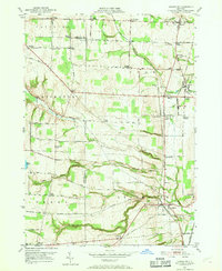
Editions of this 1951 Leicester Map
3 editions found
Other maps of this area

1904 · Batavia
USGS Topo · 1:62,500

1904 · Caledonia
USGS Topo · 1:62,500

1905 · Portage
USGS Topo · 1:62,500

1905 · Nunda
USGS Topo · 1:62,500

1943 · Mount Morris
USGS Topo · 1:24,000

1943 · Sonyea
USGS Topo · 1:24,000

1943 · Castile
USGS Topo · 1:24,000
1944 · Sonyea
USGS Topo · 1:31,680
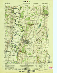
1944 · Geneseo
USGS Topo · 1:31,680
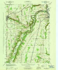
1944 · Mount Morris
USGS Topo · 1:31,680