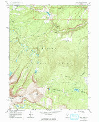
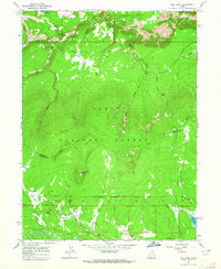
1963 Map of Leidy Peak
USGS Topo · Published 1964About this map
Leidy Peak towers over the landscape of the Ashley National Forest, anchoring a high-altitude terrain defined by glacial basins and complex drainage systems. The 1963 survey illustrates the rugged water network of the Uinta Mountains, where Carter Creek and its various forks converge while high-mountain lakes like Lake Wilde, Red Lake, and the Tepee Lakes dot the alpine basins. Human presence is marked by a network of paths including the Uinta Highline Trail and the remote Icy Hill Dugway. Finer details of mid-century forest management and land use are evident through the placement of a Lookout Tower on Ute Mountain and the presence of the Military Res Bdy near the eastern edge. The map also captures infrastructure in this wild environment, such as the Canal near Weyman Park and the Long Park Res on North Fork Ashley Creek.
Find a feature on this map
39 named features on this map. Tap any name to fly to it.
Don’t see what you’re looking for? This feature index may not catch every label — zoom into the map to look around manually.
Map Details
Editions of this 1963 Leidy Peak Map
2 editions found
Other maps of this area

1885 · Ashley
USGS Topo · 1:250,000

1906 · Marsh Peak
USGS Topo · 1:125,000

1908 · Marsh Peak
USGS Topo · 1:125,000

1954 · Vernal
USGS Topo · 1:250,000

1958 · Vernal
USGS Topo · 1:250,000

1960 · Vernal
USGS Topo · 1:250,000
1963 · Whiterocks Lake
USGS Topo · 1:24,000
1963 · Manila
USGS Topo · 1:24,000
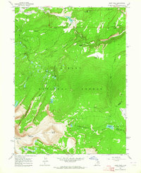
1963 · Leidy Peak
USGS Topo · 1:24,000
1963 · Elk Park
USGS Topo · 1:24,000