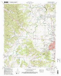
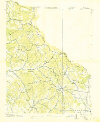
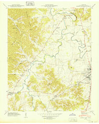
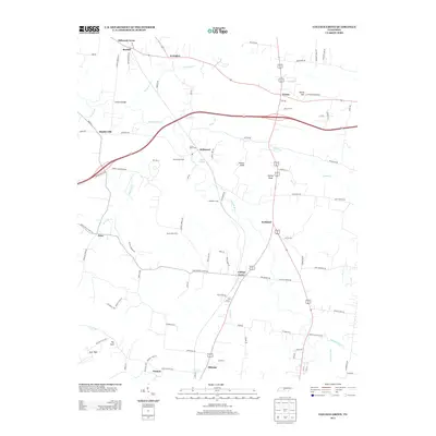
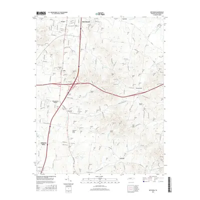
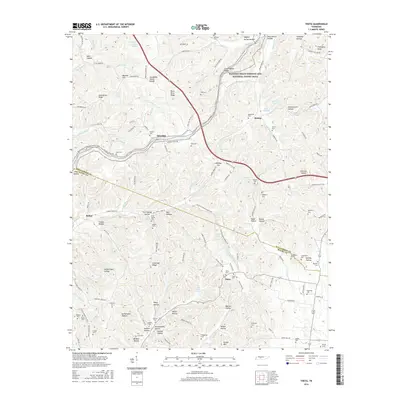
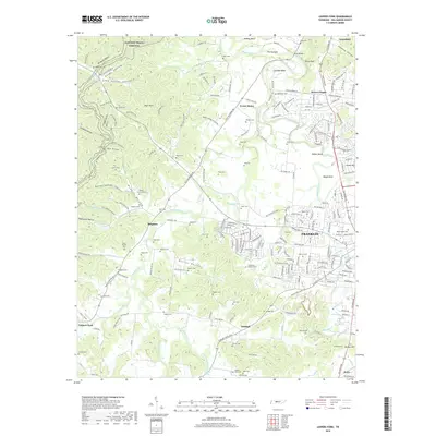
1981 Map of Leipers Fork
USGS Topo · Published 1982About this map
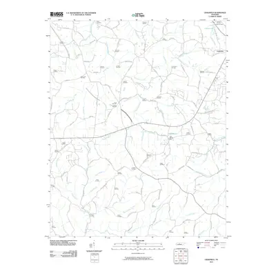
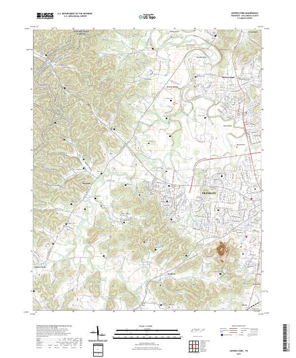
Backbone Ridge dominates the western horizon of this Williamson County landscape, where the West Harpeth River winds through a valley rich with family history and early settlement sites. The map reveals a transition between the established town center of Franklin and the rural agricultural lands of Leipers Fork, captured just as suburban developments like Battlewood Estates and Cottonwood Estates began to emerge. Significant genealogical resources are documented throughout the terrain, including numerous family burial grounds such as the McGavock Cem and Vaughn-King Cem, alongside several designated Slave Cem locations. The cultural depth of the area is further evidenced by landmarks like the Indian Mound near Bradley Bend and the historic Montpier Farms. The presence of the Louisville and Nashville Railroad and the Battle Ground Academy near the town center highlights the area's long-standing role as a hub for both industry and education.
Find a feature on this map
100 named features on this map. Tap any name to fly to it.
Don’t see what you’re looking for? This feature index may not catch every label — zoom into the map to look around manually.
Map Details
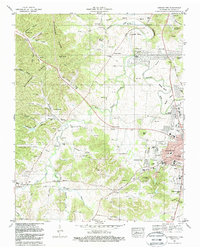
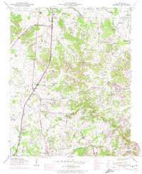
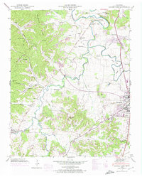
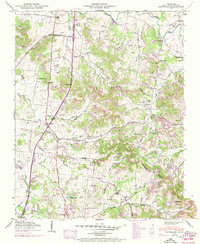
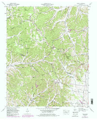
Editions of this 1981 Leipers Fork Map
3 editions found
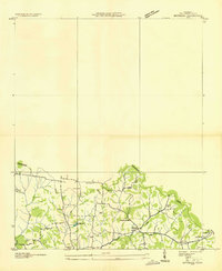
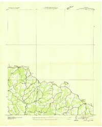
Historical Maps of Franklin Through Time
37 maps found
1936 Bethesda
Williamson County, TN
1936 Craigfield
Williamson County, TN
1936 Theta
Williamson County, TN
1946 Bethesda
Williamson County, TN
1946 Leipers Fork
Williamson County, TN
1949 Bethesda
Williamson County, TN
1949 Leipers Fork
Williamson County, TN
1951 Theta
Williamson County, TN
1953 Craigfield
Williamson County, TN
1957 College Grove
Williamson County, TN
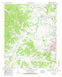
1981 Leipers Fork
Williamson County, TN
1982 Bethesda
Williamson County, TN
2010 Bethesda
Williamson County, TN
2010 College Grove
Williamson County, TN
2010 Craigfield
Williamson County, TN
2010 Leipers Fork
Williamson County, TN
2010 Theta
Williamson County, TN
2013 Bethesda
Williamson County, TN
2013 College Grove
Williamson County, TN
2013 Craigfield
Williamson County, TN
2013 Leipers Fork
Williamson County, TN
2013 Theta
Williamson County, TN
2016 Bethesda
Williamson County, TN
2016 College Grove
Williamson County, TN
2016 Craigfield
Williamson County, TN
2016 Leipers Fork
Williamson County, TN
2016 Theta
Williamson County, TN
2019 Bethesda
Williamson County, TN
2019 College Grove
Williamson County, TN
2019 Craigfield
Williamson County, TN
2019 Leipers Fork
Williamson County, TN

2019 Theta
Williamson County, TN
2022 Bethesda
Williamson County, TN
2022 College Grove
Williamson County, TN
2022 Craigfield
Williamson County, TN
2022 Leipers Fork
Williamson County, TN
2022 Theta
Williamson County, TN