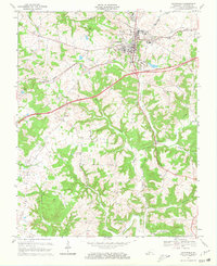
1967 Map of Leitchfield
USGS Topo · Published 1968About this map
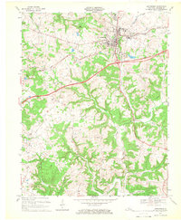
Leitchfield serves as the focal point of this late 1960s study, situated at the intersection of a developing modern transportation network. The newly constructed Western Kentucky Parkway cuts a bold diagonal across the landscape, contrasting with the established route of the Illinois Central railroad. This era represents a significant transition for the region, where older rural community anchors like Liberty Ch and New Freedom Ch persist alongside new infrastructure like the Sewage Disposal plant and Filtration Plant.
Find a feature on this map
43 named features on this map. Tap any name to fly to it.
Don’t see what you’re looking for? This feature index may not catch every label — zoom into the map to look around manually.
Map Details
Editions of this 1967 Leitchfield Map
2 editions found
Other maps of this area

1922 · Leitchfield
USGS Topo · 1:48,000

1925 · Cub Run
USGS Topo · 1:62,500

1925 · Leitchfield
USGS Topo · 1:62,500

1932 · Big Clifty
USGS Topo · 1:62,500

1949 · Big Clifty
USGS Topo · 1:24,000

1949 · Big Clifty
USGS Topo · 1:62,500

1953 · Mc Daniels
USGS Topo · 1:24,000

1953 · Ready
USGS Topo · 1:24,000

1953 · Bee Spring
USGS Topo · 1:24,000

1954 · Evansville
USGS Topo · 1:250,000