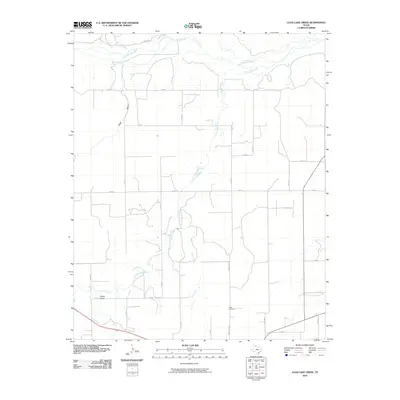
2010 Map of Lelia Lake Creek
USGS Topo · Published 2010About this map
Salt Fork Red River defines the northern boundary of this landscape, carving a wide path through the Panhandle terrain. The area is characterized by an extensive network of drainage features and intermittent watercourses, including Lelia Lake Creek, Bell Creek, and the distinctive Eagle Arroyo. These natural features intersect a rigid grid of rural roads, such as Ranch Rd 1932 and FM 2471, reflecting the region's agricultural and ranching organization.
Find a feature on this map
27 named features on this map. Tap any name to fly to it.
Don’t see what you’re looking for? This feature index may not catch every label — zoom into the map to look around manually.
Map Details
Editions of this 2010 Lelia Lake Creek Map
This is the sole edition of this map. No revisions or reprints were ever made.
Other maps of this area

1954 · Amarillo
USGS Topo · 1:250,000

1954 · Plainview
USGS Topo · 1:250,000

1958 · Amarillo
USGS Topo · 1:250,000

1958 · Plainview
USGS Topo · 1:250,000

1959 · Lelia Lake Creek
USGS Topo · 1:24,000

1959 · Troublesome Creek
USGS Topo · 1:24,000

1959 · Spencer Lake
USGS Topo · 1:24,000

1959 · McKnight
USGS Topo · 1:24,000

1962 · Lelia Lake
USGS Topo · 1:24,000

1962 · Griffin Ranch
USGS Topo · 1:24,000