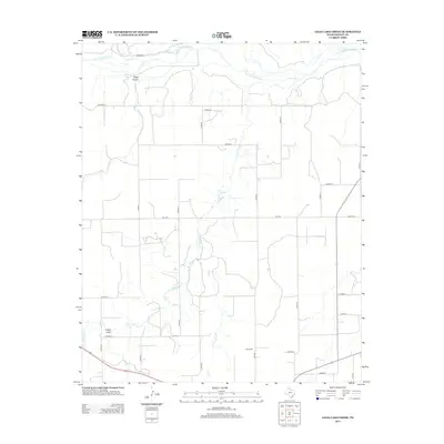
2012 Map of Lelia Lake Creek
USGS Topo · Published 2012About this map
The Salt Fork Red River meanders across the northern reaches of this Donley County landscape, carved by a network of drainage systems including Eagle Arroyo and Homes Cr. This terrain is defined by the hydrologic patterns of Lelia Lake Cr and its tributaries, such as E Lelia Lake Cr and Bell Cr, which weave through a grid of rural county roads. For those researching local history, the Rowe Cem stands as a significant landmark in the southern section, situated near FM-1932. The map also captures several distinct topographic depressions, most notably Kilfoil Draw, illustrating the erosional character of the Texas Panhandle's eastern plains before they descend toward the river valley.
Find a feature on this map
29 named features on this map. Tap any name to fly to it.
Don’t see what you’re looking for? This feature index may not catch every label — zoom into the map to look around manually.
Map Details
Editions of this 2012 Lelia Lake Creek Map
This is the sole edition of this map. No revisions or reprints were ever made.
Other maps of this area

1954 · Amarillo
USGS Topo · 1:250,000

1954 · Plainview
USGS Topo · 1:250,000

1958 · Amarillo
USGS Topo · 1:250,000

1958 · Plainview
USGS Topo · 1:250,000

1959 · Lelia Lake Creek
USGS Topo · 1:24,000

1959 · Troublesome Creek
USGS Topo · 1:24,000

1959 · Spencer Lake
USGS Topo · 1:24,000

1959 · McKnight
USGS Topo · 1:24,000

1962 · Lelia Lake
USGS Topo · 1:24,000

1962 · Griffin Ranch
USGS Topo · 1:24,000