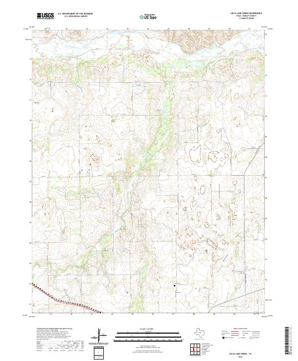
2022 Map of Lelia Lake Creek
USGS Topo · Published 2022About this map
The Salt Fork Red River dominates the northern reaches of this Donley County landscape, where the High Plains topography is carved by a network of drainage systems. Key watercourses like Lelia Lake Cr, Edgel Cr, and Bell Creek define the local hydrology, while prominent landforms such as Kilfoil Draw and Oklahoma Draw cut through the ranchlands. For those researching local heritage, the Rowe Cem stands as a significant landmark in the southeastern portion of the quadrangle. The map details a transition from the river valley to higher ground, marked by a grid of county roads and specific access points like Quail Track Ranch Rd. The presence of 2nd St in the southwestern corner suggests the edge of a more established settlement, offering a clear view of how transportation routes like FM 2471 and Ranch Rd 1932 connect these remote Texas ranching territories.
Find a feature on this map
31 named features on this map. Tap any name to fly to it.
Don’t see what you’re looking for? This feature index may not catch every label — zoom into the map to look around manually.
Map Details
Editions of this 2022 Lelia Lake Creek Map
This is the sole edition of this map. No revisions or reprints were ever made.
Other maps of this area

1954 · Amarillo
USGS Topo · 1:250,000

1954 · Plainview
USGS Topo · 1:250,000

1958 · Amarillo
USGS Topo · 1:250,000

1958 · Plainview
USGS Topo · 1:250,000

1959 · Lelia Lake Creek
USGS Topo · 1:24,000

1959 · Troublesome Creek
USGS Topo · 1:24,000

1959 · Spencer Lake
USGS Topo · 1:24,000

1959 · McKnight
USGS Topo · 1:24,000

1962 · Lelia Lake
USGS Topo · 1:24,000

1962 · Griffin Ranch
USGS Topo · 1:24,000