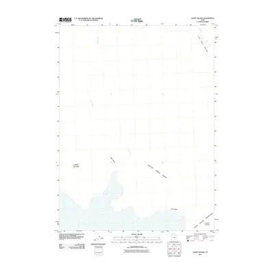
2011 Map of Lemay Island
USGS Topo · Published 2011About this map
Grouse Creek Sinks define the hydrology of this arid landscape in the Great Salt Lake Desert, where seasonal water flow from Grouse Creek terminates in the basin. This 2011 survey by the U.S. Geological Survey captures the stark geography of northwestern Utah, highlighting isolated topographical features like Lemay Island and Crater Island that emerge from the surrounding flats. The northern reaches are bounded by the Little Pigeon Mountains, while the southeastern corner is shaped by the rugged foothills of the Silver Island Mountains. This map is particularly useful for understanding the drainage patterns of the region, specifically how Miry Wash and other intermittent watercourses navigate the high-desert terrain before reaching the terminal sinks. It documents a remote area where ancient lake beds and mountain outcrops meet, providing a clear record of the basin's physical features at the start of the decade.
Find a feature on this map
7 named features on this map. Tap any name to fly to it.
Don’t see what you’re looking for? This feature index may not catch every label — zoom into the map to look around manually.
Map Details
Editions of this 2011 Lemay Island Map
This is the sole edition of this map. No revisions or reprints were ever made.
Other maps of this area

1954 · Brigham City
USGS Topo · 1:250,000

1958 · Brigham City
USGS Topo · 1:250,000

1962 · Brigham City
USGS Topo · 1:250,000

1967 · Pigeon Mountain
USGS Topo · 1:24,000

1967 · Lucin
USGS Topo · 1:24,000
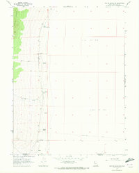
1967 · Crater Island SW
USGS Topo · 1:24,000

1967 · Lemay Island
USGS Topo · 1:24,000
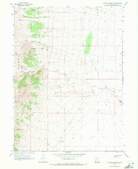
1967 · Crater Island NW
USGS Topo · 1:24,000

1970 · Crater Island
USGS Topo · 1:24,000

1983 · Jackson
USGS Topo · 1:24,000