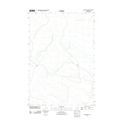
2011 Map of Lemon Ranch
USGS Topo · Published 2011About this map
Pine Ridge and the namesake Lemon Ranch are the primary points of interest in this portion of Yellowstone County, Montana. The landscape is defined by the winding course of Reed Creek, which is tracked closely by the path of Reed Creek Rd. To the northeast, the South Fork Sorrel Horse Creek drains through the terrain, highlighting the drainage patterns essential to ranching in the region. This 2011 survey illustrates a sparse but functional network of local roads and water sources that sustained rural Montana life in the early 21st century. The map provides a clear record of land use and topographic relief, showing how the natural drainage of these creeks influenced the placement of the few named settlements and transportation corridors.
Find a feature on this map
5 named features on this map. Tap any name to fly to it.
Don’t see what you’re looking for? This feature index may not catch every label — zoom into the map to look around manually.
Map Details
Editions of this 2011 Lemon Ranch Map
This is the sole edition of this map. No revisions or reprints were ever made.
Other maps of this area

1894 · Fort Custer
USGS Topo · 1:125,000

1954 · Hardin
USGS Topo · 1:250,000

1954 · Forsyth
USGS Topo · 1:250,000

1957 · Hardin
USGS Topo · 1:250,000

1957 · Forsyth
USGS Topo · 1:250,000

1958 · Forsyth
USGS Topo · 1:250,000

1958 · Hardin
USGS Topo · 1:250,000

1960 · Foster
USGS Topo · 1:24,000

1960 · Ninemile Point
USGS Topo · 1:24,000

1960 · Chimney Creek
USGS Topo · 1:24,000