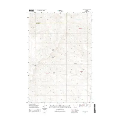
2014 Map of Lemon Ranch
USGS Topo · Published 2014About this map
Lemon Ranch sits at the center of this drainage-carved landscape along the boundary of Yellowstone and Big Horn Counties. The terrain is defined by a dense network of coulees that feed into larger water systems, including Sawmill Coulee to the north and the sharp descent of Deadmans Coulee further south. Notable for its hydraulic infrastructure, the southeastern corner of the map features the Wagon Box Canal, a critical element of the local ranching and agricultural economy in this arid region.
Find a feature on this map
18 named features on this map. Tap any name to fly to it.
Don’t see what you’re looking for? This feature index may not catch every label — zoom into the map to look around manually.
Map Details
Editions of this 2014 Lemon Ranch Map
This is the sole edition of this map. No revisions or reprints were ever made.
Other maps of this area

1894 · Fort Custer
USGS Topo · 1:125,000

1954 · Hardin
USGS Topo · 1:250,000

1954 · Forsyth
USGS Topo · 1:250,000

1957 · Hardin
USGS Topo · 1:250,000

1957 · Forsyth
USGS Topo · 1:250,000

1958 · Forsyth
USGS Topo · 1:250,000

1958 · Hardin
USGS Topo · 1:250,000

1960 · Foster
USGS Topo · 1:24,000

1960 · Ninemile Point
USGS Topo · 1:24,000

1960 · Chimney Creek
USGS Topo · 1:24,000