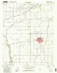
1954 Map of Lemoore
USGS Topo · Published 1986About this map
The Kings River and its intricate distributary network dominate this Central Valley landscape, reflecting a mid-century irrigation and rail economy. The city of Lemoore serves as the focal point, situated along the Southern Pacific railroad line with industrial features like Oil Tanks and a Race Track near the tracks at Cimarron. North of the city, the land is etched with water management features including the Lower Kings R Ditch and the W Br Last Chance Ditch, essential for the agriculture defined by the Laguna De Tache land grant area.
Find a feature on this map
45 named features on this map. Tap any name to fly to it.
Don’t see what you’re looking for? This feature index may not catch every label — zoom into the map to look around manually.
Map Details
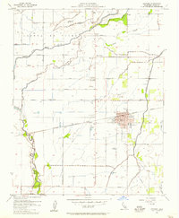
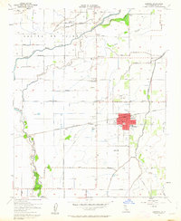
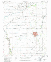
Editions of this 1954 Lemoore Map
4 editions found
Other maps of this area

1924 · Riverdale
USGS Topo · 1:31,680

1926 · Hanford
USGS Topo · 1:31,680

1926 · Lethent
USGS Topo · 1:31,680

1927 · Laton
USGS Topo · 1:31,680

1927 · Burrel
USGS Topo · 1:31,680

1927 · Riverdale
USGS Topo · 1:31,680

1927 · Lemoore
USGS Topo · 1:31,680

1929 · Guernsey
USGS Topo · 1:31,680

1929 · Stratford
USGS Topo · 1:31,680

1929 · Westhaven
USGS Topo · 1:31,680