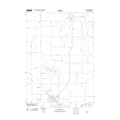
2012 Map of Lena
USGS Topo · Published 2012About this map
The Pecatonica River winds through the northern landscape of this Stephenson County region, where the villages of Winslow and Lena serve as primary hubs of activity. This 2012 survey illustrates a pastoral agricultural corridor defined by a high density of rural cemeteries, including Christian Hollow Cem, Waite Cem, and Manny Cem, which offer significant value for genealogical research. The region's transport and aviation history is reflected in several small-scale facilities such as the Lena Flying Club Landing Field, Red Shed Field Airport, and Kramer Airport, scattered among the drainages of Waddams Cr and Indian Cr. Local infrastructure is marked by landmarks like the Lena Water Tower, while named agricultural sites such as Twelve Oaks Farm highlight the established farming character of the area near the intersections of W Main St and W Railroad St.
Find a feature on this map
82 named features on this map. Tap any name to fly to it.
Don’t see what you’re looking for? This feature index may not catch every label — zoom into the map to look around manually.
Map Details
Editions of this 2012 Lena Map
This is the sole edition of this map. No revisions or reprints were ever made.
Other maps of this area

1920 · Monroe
USGS Topo · 1:62,500

1922 · Monroe
USGS Topo · 1:62,500

1923 · South Wayne
USGS Topo · 1:62,500

1937 · Lena
USGS Topo · 1:48,000

1939 · Freeport
USGS Topo · 1:48,000

1942 · Lena
USGS Topo · 1:62,500

1943 · Lena
USGS Topo · 1:62,500

1944 · Freeport
USGS Topo · 1:62,500

1954 · Rockford
USGS Topo · 1:250,000

1955 · Rockford
USGS Topo · 1:250,000