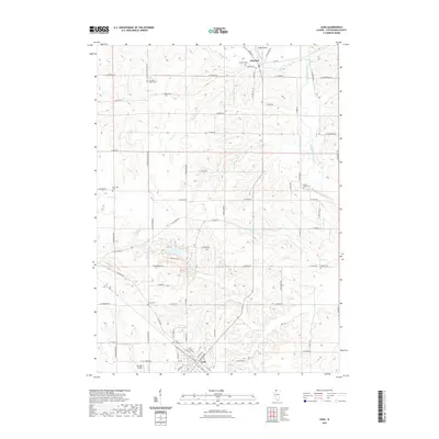
2021 Map of Lena
USGS Topo · Published 2021About this map
Winslow and Lena anchor this northern Illinois landscape, where the agricultural grid is deeply etched by the meandering courses of the Pecatonica River and its tributaries. The topography reveals a transition from the level uplands to the winding valleys of Waddams Cr and Honey Creek. For the local historian, the map preserves the names of numerous small burial grounds that dot the countryside, such as Christian Hollow Cem and the Robey Waite Cem, often situated near early roads like N Christian Hollow Rd. Transportation patterns show a mix of traditional township roads and small aviation facilities like Mitek Airport and Kramer Airport, illustrating how this rural Stephenson County landscape has adapted while maintaining its foundational agrarian character. Recreation and nature trails are represented by the Sweet Gum Trl, winding through the terrain near W Dunloggin Rd.
Find a feature on this map
76 named features on this map. Tap any name to fly to it.
Don’t see what you’re looking for? This feature index may not catch every label — zoom into the map to look around manually.
Map Details
Editions of this 2021 Lena Map
This is the sole edition of this map. No revisions or reprints were ever made.
Other maps of this area

1920 · Monroe
USGS Topo · 1:62,500

1922 · Monroe
USGS Topo · 1:62,500

1923 · South Wayne
USGS Topo · 1:62,500

1937 · Lena
USGS Topo · 1:48,000

1939 · Freeport
USGS Topo · 1:48,000

1942 · Lena
USGS Topo · 1:62,500

1943 · Lena
USGS Topo · 1:62,500

1944 · Freeport
USGS Topo · 1:62,500

1954 · Rockford
USGS Topo · 1:250,000

1955 · Rockford
USGS Topo · 1:250,000