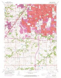
1963 Map of Lenexa
USGS Topo · Published 1971About this map
Overland Park and its surrounding suburban communities are shown during a phase of rapid residential expansion in the early 1970s. The pink-tinted urban areas push south from Shawnee and Merriam, reaching toward the more open landscapes of Oxford. The network of schools and churches, such as Queen of Holy Rosary Sch and Adventist Ch, serves as a marker for the growing neighborhoods. This era captures the early influence of Interstate 435 as it bisects the terrain, signaling a shift in transportation away from the older St Louis-San Francisco rail line.
Find a feature on this map
65 named features on this map. Tap any name to fly to it.
Don’t see what you’re looking for? This feature index may not catch every label — zoom into the map to look around manually.
Map Details
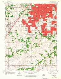
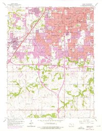
Editions of this 1963 Lenexa Map
3 editions found
Other maps of this area

1887 · Olathe
USGS Topo · 1:125,000

1890 · Kansas City
USGS Topo · 1:125,000

1893 · Olathe
USGS Topo · 1:125,000

1894 · Kansas City
USGS Topo · 1:125,000

1934 · Bonner Springs
USGS Topo · 1:48,000

1934 · Grandview
USGS Topo · 1:24,000

1934 · Shawnee
USGS Topo · 1:24,000

1934 · Edwardsville
USGS Topo · 1:24,000

1935 · Olathe
USGS Topo · 1:24,000

1935 · Kansas City
USGS Topo · 1:24,000