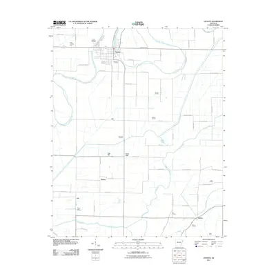
2011 Map of Lepanto
USGS Topo · Published 2011About this map
Lepanto and the surrounding Poinsett County lowlands are defined by an intricate network of waterways and drainage channels, most notably the Left Hand Chute of Little River and the winding Tyronza River. The town of Lepanto sits at the confluence of these waters, surrounded by smaller agrarian settlements like Alto, Wilbeth, and Whitton. This landscape is heavily shaped by agricultural infrastructure, where Ditch Number 51b and the Spear Lake area manage the fertile terrain.
Find a feature on this map
68 named features on this map. Tap any name to fly to it.
Don’t see what you’re looking for? This feature index may not catch every label — zoom into the map to look around manually.
Map Details
Editions of this 2011 Lepanto Map
This is the sole edition of this map. No revisions or reprints were ever made.
Other maps of this area

1931 · Jericho
USGS Topo · 1:62,500

1939 · Jericho
USGS Topo · 1:62,500

1939 · Evadale
USGS Topo · 1:62,500

1940 · Deckerville
USGS Topo · 1:62,500

1941 · Marked Tree
USGS Topo · 1:62,500

1952 · Jericho
USGS Topo · 1:62,500

1953 · Memphis
USGS Topo · 1:250,000

1956 · Evadale
USGS Topo · 1:62,500

1956 · Marked Tree
USGS Topo · 1:62,500

1956 · Memphis
USGS Topo · 1:250,000