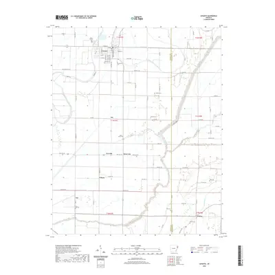
2020 Map of Lepanto
USGS Topo · Published 2020About this map
Lepanto sits at the northern edge of this Poinsett County landscape, where the Left Hand Chute of Little River defines the drainage patterns of the eastern Arkansas delta. This region is characterized by a dense network of drainage ditches and small bayous, such as Cross Bayou and Ditch Number 51b, which have historically supported the area's agricultural productivity. Smaller settlements including Alto, Whitton, and the site at Frys Mill are connected by a grid of county roads and state highways, reflecting a rural economy deeply tied to the land.
Find a feature on this map
82 named features on this map. Tap any name to fly to it.
Don’t see what you’re looking for? This feature index may not catch every label — zoom into the map to look around manually.
Map Details
Editions of this 2020 Lepanto Map
This is the sole edition of this map. No revisions or reprints were ever made.
Other maps of this area

1931 · Jericho
USGS Topo · 1:62,500
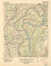
1939 · Jericho
USGS Topo · 1:62,500
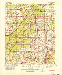
1939 · Evadale
USGS Topo · 1:62,500

1940 · Deckerville
USGS Topo · 1:62,500

1941 · Marked Tree
USGS Topo · 1:62,500
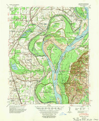
1952 · Jericho
USGS Topo · 1:62,500

1953 · Memphis
USGS Topo · 1:250,000
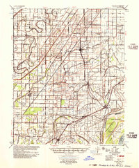
1956 · Evadale
USGS Topo · 1:62,500
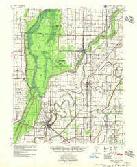
1956 · Marked Tree
USGS Topo · 1:62,500

1956 · Memphis
USGS Topo · 1:250,000