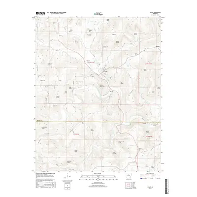
2017 Map of Leslie
USGS Topo · Published 2017About this map
Leslie sits at the heart of this landscape along the Middle Fork Little Red River, serving as a central hub for the surrounding Ozark foothills. The map documents a network of rural communities including Wileys Cove, Elberta, and Rumley, the latter positioned near the southern boundary line of Searcy Co and Van Buren Co. This 2017 survey reveals a terrain defined by high points like Chicken Wilson Knob and Henderson Point, interspersed with numerous hollows such as Blacksnake Hollow and Green Griffin Hollow. Genealogists will find a wealth of local burial sites, from the large Leslie Cem to the more secluded Sulphur Springs Cem and Pine Grove Cem. The drainage patterns are meticulously recorded, showing how Peyton Cr and Cove Cr navigate the complex topography of Brushy Mtn and Blue Mtn.
Find a feature on this map
96 named features on this map. Tap any name to fly to it.
Don’t see what you’re looking for? This feature index may not catch every label — zoom into the map to look around manually.
Map Details
Editions of this 2017 Leslie Map
This is the sole edition of this map. No revisions or reprints were ever made.
Other maps of this area

1892 · Marshall
USGS Topo · 1:125,000

1892 · Mountain View
USGS Topo · 1:125,000

1894 · Mountain View
USGS Topo · 1:125,000

1894 · Marshall
USGS Topo · 1:125,000

1901 · Marshall
USGS Topo · 1:125,000

1956 · Russellville
USGS Topo · 1:250,000
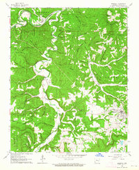
1962 · Marshall
USGS Topo · 1:24,000
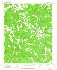
1962 · Canaan
USGS Topo · 1:24,000
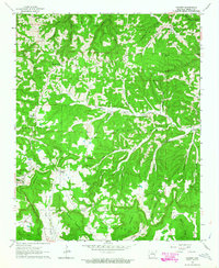
1963 · Harriet
USGS Topo · 1:24,000

1963 · Leslie
USGS Topo · 1:24,000