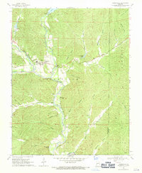
1968 Map of Lesterville
USGS Topo · Published 1971About this map
The Lesterville settlement serves as the central hub of this Missouri Ozarks landscape, situated at the confluence of the East Fork and Middle Fork of the Black River. The 1968 survey reveals a community deeply tied to its hydrology and topography, featuring landmarks such as the Our Lady of Sorrow Ch and the prominent Water Tank. The terrain is defined by a dense network of hollows, including Needmore Hollow and Middleton Hollow, which drain toward the river valleys. Evidence of recreational and resource-based land use is visible at Scudder Camp and near the Lower Reservoir. Geologic features like Wicks Cave, Well Cave, and the towering Vickery Mountain underscore the karst and highland character of Reynolds County before modern development shifted the rural footprint.
Find a feature on this map
46 named features on this map. Tap any name to fly to it.
Don’t see what you’re looking for? This feature index may not catch every label — zoom into the map to look around manually.
Map Details
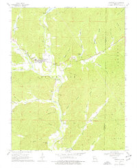
Editions of this 1968 Lesterville Map
2 editions found
Other maps of this area

1924 · Edgehill
USGS Topo · 1:62,500

1926 · Edgehill
USGS Topo · 1:62,500

1926 · Des Arc
USGS Topo · 1:62,500

1929 · Des Arc
USGS Topo · 1:62,500

1937 · Ironton
USGS Topo · 1:48,000

1943 · Lesterville
USGS Topo · 1:62,500

1945 · Ironton
USGS Topo · 1:62,500

1946 · Lesterville
USGS Topo · 1:62,500

1946 · Ironton
USGS Topo · 1:62,500

1949 · Rolla
USGS Topo · 1:250,000