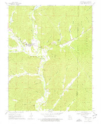
1968 Map of Lesterville
USGS Topo · Published 1977About this map
Lesterville serves as the focal point of this Ozark landscape, situated at the convergence of the Middle Fork and East Fork Black River. The 1968 topography reveals a region defined by its deep hollows and narrow valleys, where small family cemeteries like Shy Cem and Dobbins Cem are tucked into the drainages of Mill Creek and Wright Hollow. The infrastructure of the era is evident in the Lower Reservoir and its associated spillways, while the spiritual life of the community is anchored by Our Lady of Sorrow Ch. The map also details geological curiosities like Wicks Cave and Well Cave, alongside prominent elevations such as Vickery Mountain. This survey documents a quiet rural period before modern expansion, preserving the locations of long-standing homesteads and local landmarks like Coil Bluff and the remote Scudder Camp.
Find a feature on this map
52 named features on this map. Tap any name to fly to it.
Don’t see what you’re looking for? This feature index may not catch every label — zoom into the map to look around manually.
Map Details
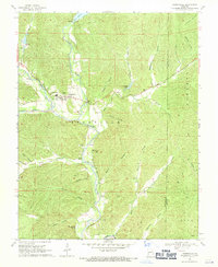
Editions of this 1968 Lesterville Map
2 editions found
Other maps of this area

1924 · Edgehill
USGS Topo · 1:62,500

1926 · Edgehill
USGS Topo · 1:62,500

1926 · Des Arc
USGS Topo · 1:62,500

1929 · Des Arc
USGS Topo · 1:62,500

1937 · Ironton
USGS Topo · 1:48,000

1943 · Lesterville
USGS Topo · 1:62,500

1945 · Ironton
USGS Topo · 1:62,500

1946 · Lesterville
USGS Topo · 1:62,500

1946 · Ironton
USGS Topo · 1:62,500

1949 · Rolla
USGS Topo · 1:250,000