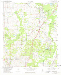
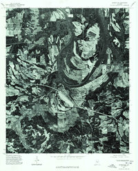
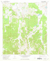
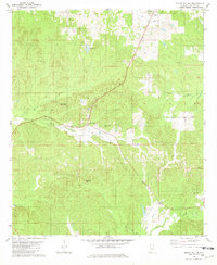
1981 Map of Letohatchee
USGS Topo · Published 1981This historical map portrays the area of Letohatchee in 1981, primarily covering Lowndes County as well as portions of Montgomery County. Featuring a scale of 1:24000, this map provides a highly detailed snapshot of the terrain, roads, buildings, counties, and historical landmarks in the Letohatchee region at the time. Published in 1981, it is one of 2 known editions of this map due to revisions or reprints.
Find a feature on this map
29 named features on this map. Tap any name to fly to it.
Don’t see what you’re looking for? This feature index may not catch every label — zoom into the map to look around manually.
Map Details
Editions of this 1981 Letohatchee Map
2 editions found
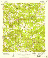
Historical Maps of Tyson Through Time
11 maps found
1957 Braggs
Lowndes County, AL
1975 Autaugaville SE
Lowndes County, AL
1975 Autaugaville SW
Lowndes County, AL
1975 Benton SE
Lowndes County, AL
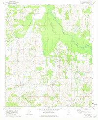
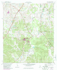
1981 Calhoun
Lowndes County, AL
1981 Gordonsville
Lowndes County, AL
1981 Letohatchee
Lowndes County, AL
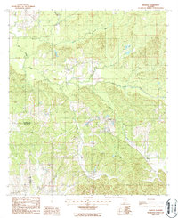
1981 Mount Willing
Lowndes County, AL
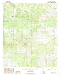
1981 Sandy Ridge
Lowndes County, AL
1987 Braggs
Lowndes County, AL
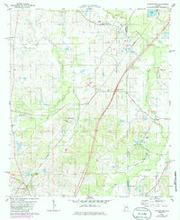
1987 Collirene
Lowndes County, AL