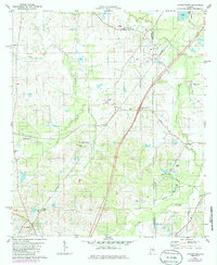
1981 Map of Letohatchee
USGS Topo · Published 1986About this map
Letohatchee and the surrounding Lowndes County countryside are defined by a network of rural roads and the Seaboard Coast Line railroad. This landscape reveals a deep-rooted social fabric through its numerous small congregations and family burial grounds, including the Bozziel Springs Ch and New Pleasant Valley Ch. The map shows a clear transition in land use, where woodland and open fields are bisected by modern infrastructure like the Interchange 1-58.
Find a feature on this map
33 named features on this map. Tap any name to fly to it.
Don’t see what you’re looking for? This feature index may not catch every label — zoom into the map to look around manually.
Map Details
Editions of this 1981 Letohatchee Map
2 editions found
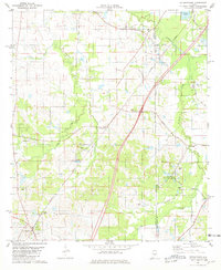
Other maps of this area

1927 · Montgomery
USGS Topo · 1:48,000

1930 · Montgomery
USGS Topo · 1:62,500

1953 · Montgomery
USGS Topo · 1:250,000

1956 · Montgomery
USGS Topo · 1:250,000

1957 · Montgomery
USGS Topo · 1:250,000

1957 · Letohatchee
USGS Topo · 1:62,500

1957 · Autaugaville
USGS Topo · 1:62,500

1958 · Montgomery
USGS Topo · 1:62,500

1958 · Montgomery South
USGS Topo · 1:24,000

1975 · Autaugaville SE
USGS Topo · 1:24,000