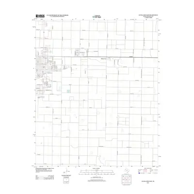
2012 Map of Levelland East
USGS Topo · Published 2012About this map
The settlement of Opdyke West and the surrounding high plains of Hockley County are documented in this 2012 survey. This portion of West Texas is defined by a rigid grid of rural routes and specialized lane names, reflecting a transition between small-town residential life and the vast agricultural expanses of the Llano Estacado. Significant institutional presence is found at S Plains Coll, while the Levelland Municipal Airport serves as a key transportation hub for the region. The map captures the spatial arrangement of numerous small basins and depressions that dot the landscape between named corridors like America Rd and Arizona Rd. Local residential history is visible in the clustered street names near the college, including Country Club Ln and Brookhollow Ln, which provide a detailed look at the community's expansion east of the county seat.
Find a feature on this map
93 named features on this map. Tap any name to fly to it.
Don’t see what you’re looking for? This feature index may not catch every label — zoom into the map to look around manually.
Map Details
Editions of this 2012 Levelland East Map
This is the sole edition of this map. No revisions or reprints were ever made.
Other maps of this area

1954 · Brownfield
USGS Topo · 1:250,000

1957 · Meadow
USGS Topo · 1:62,500

1957 · Wolfforth
USGS Topo · 1:62,500

1958 · Brownfield
USGS Topo · 1:250,000

1962 · Brownfield
USGS Topo · 1:250,000

1964 · Whitharral
USGS Topo · 1:24,000

1965 · Levelland West
USGS Topo · 1:24,000

1965 · Sundown
USGS Topo · 1:24,000

1965 · Levelland East
USGS Topo · 1:24,000

1965 · Hester Ranch
USGS Topo · 1:24,000