1956 Map of Levis
USGS Topo · Published 1958About this map
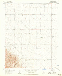
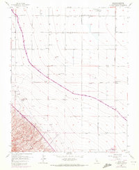
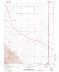
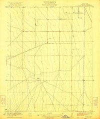
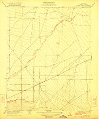
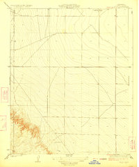
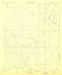
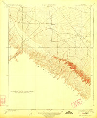
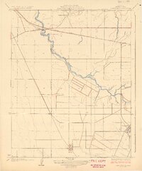
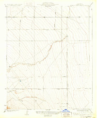
The settlement of Levis and the surrounding Fresno County agricultural landscape are defined by an extensive grid of section-line roads and irrigation infrastructure in the mid-1950s. Located near an Oil Pumping Station, the area features a geometric layout of avenues including Manning Ave, Nebraska Ave, and Derrick Ave. The transition from the flat valley floor to the foothills is marked by Monocline Ridge and the Ciervo Hills in the southwest corner. Local life and labor are evidenced by several scattered Labor Camps and the Midway Ranch, while transport is focused at Panoche Junction. This survey reveals the scale of Central Valley land management, noting a significant subsidence area below the hills and a system of Levees and Pumps designed to control water flow across the arid terrain near Washoe.
Find a feature on this map
27 named features on this map. Tap any name to fly to it.
Don’t see what you’re looking for? This feature index may not catch every label — zoom into the map to look around manually.
Map Details
Editions of this 1956 Levis Map
3 editions found
Other maps of this area

1912 · Coalinga
USGS Topo · 1:125,000

1913 · Panoche
USGS Topo · 1:125,000

1915 · Priest Valley
USGS Topo · 1:125,000
1922 · Tufts Ranch
USGS Topo · 1:31,680
1922 · Chaney Ranch
USGS Topo · 1:31,680
1923 · Levis
USGS Topo · 1:31,680
1923 · Englebrecht Ranch
USGS Topo · 1:31,680
1923 · Monocline Ridge
USGS Topo · 1:31,680
1924 · Tranquillity
USGS Topo · 1:31,680
1931 · Mouth of Cantua Creek
USGS Topo · 1:31,680