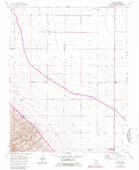
1956 Map of Levis
USGS Topo · Published 1984About this map
Agricultural development and industrial water management dominate this Fresno County landscape, which transitioned through the mid-20th century. The settlement of Three Rocks and the rail-aligned Levis serve as primary anchors in an area defined by a vast grid of irrigation infrastructure. The most significant modern intervention is the California Aqueduct, specifically the section designated as the Governor Edmund G Brown, which carves through the terrain to support the region's intensive farming. In the southwest, the topography shifts abruptly toward the Ciervo Hills, where the seasonal Arroyo Ciervo drains toward the valley floor. Researchers will find numerous groundwater sources scattered across the map, such as Well 315, and specialized infrastructure like the Oil Pumping Station, reflecting the area's reliance on both water extraction and energy transport at Panoche Junction.
Find a feature on this map
37 named features on this map. Tap any name to fly to it.
Don’t see what you’re looking for? This feature index may not catch every label — zoom into the map to look around manually.
Map Details
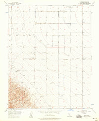
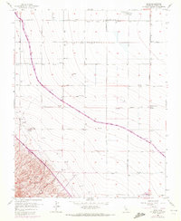
Editions of this 1956 Levis Map
3 editions found
Other maps of this area

1912 · Coalinga
USGS Topo · 1:125,000

1913 · Panoche
USGS Topo · 1:125,000

1915 · Priest Valley
USGS Topo · 1:125,000

1922 · Tufts Ranch
USGS Topo · 1:31,680

1922 · Chaney Ranch
USGS Topo · 1:31,680

1923 · Levis
USGS Topo · 1:31,680

1923 · Englebrecht Ranch
USGS Topo · 1:31,680

1923 · Monocline Ridge
USGS Topo · 1:31,680

1924 · Tranquillity
USGS Topo · 1:31,680

1931 · Mouth of Cantua Creek
USGS Topo · 1:31,680