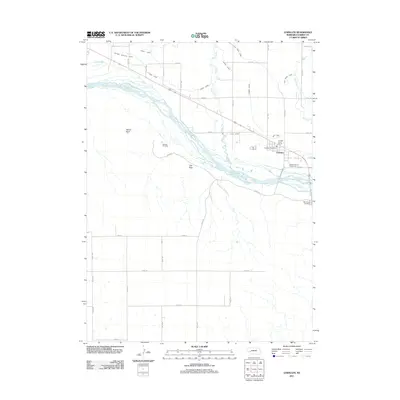
2011 Map of Lewellen
USGS Topo · Published 2011About this map
The North Platte River braided channels define the central landscape of this western Nebraska survey, where the village of Lewellen serves as a primary hub for the surrounding ranching and farming community. The irrigation infrastructure is particularly dense here, featuring an intricate network of waterways including the Midland Overland Canal, Union Canal, and Graf Canal, which draw from the river and Blue Creek to support the arid valley. Local history and genealogy are anchored by landmarks like the Ash Hollow Cemetery and Durham Cemetery, while the Garden County Fairgrounds and Js Otter Creek Resort indicate the area's role in regional gatherings and outdoor recreation. Notable elevations such as Signal Bluff and Clay Peak rise above the river valley, providing significant topographic relief against the grid of section roads that crisscross the plains.
Find a feature on this map
39 named features on this map. Tap any name to fly to it.
Don’t see what you’re looking for? This feature index may not catch every label — zoom into the map to look around manually.
Map Details
Editions of this 2011 Lewellen Map
This is the sole edition of this map. No revisions or reprints were ever made.
Other maps of this area

1900 · Chappell
USGS Topo · 1:125,000

1954 · Scottsbluff
USGS Topo · 1:250,000

1958 · Scottsbluff
USGS Topo · 1:250,000
1971 · Twin Buttes
USGS Topo · 1:24,000
1971 · Big Springs NE
USGS Topo · 1:24,000
1971 · Ruthton
USGS Topo · 1:24,000

1971 · Barn Butte
USGS Topo · 1:24,000

1971 · Chappell NE
USGS Topo · 1:24,000
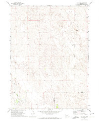
1971 · Old Baldy
USGS Topo · 1:24,000
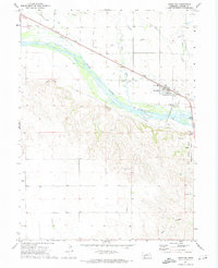
1971 · Lewellen
USGS Topo · 1:24,000