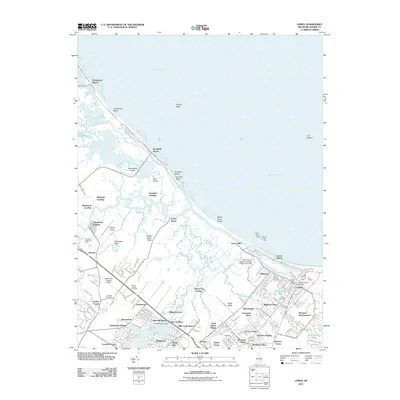
2011 Map of Lewes
USGS Topo · Published 2011About this map
The Lewes and Rehoboth Canal serves as a defining waterway for this coastal Sussex County landscape, connecting the Broadkill River to the busy harbors of the Atlantic coast. The town of Lewes itself is documented in detail, featuring local institutions such as the Lewes Post Office, the University of Delaware College of Marine Studies, and the South Street Bridge. Away from the town center, the map reveals a network of coastal landings and residential developments including Wiltbank Landing, Swanendael, and Highland Acres, illustrating the region's transition from maritime commerce to a residential shoreline.
Find a feature on this map
157 named features on this map. Tap any name to fly to it.
Don’t see what you’re looking for? This feature index may not catch every label — zoom into the map to look around manually.
Map Details
Editions of this 2011 Lewes Map
This is the sole edition of this map. No revisions or reprints were ever made.
Other maps of this area

1917 · Millsboro
USGS Topo · 1:62,500

1918 · Cedar Creek
USGS Topo · 1:62,500

1918 · Rehoboth
USGS Topo · 1:62,500

1918 · Cape Henlopen
USGS Topo · 1:62,500

1919 · Cedar Creek
USGS Topo · 1:62,500

1937 · Cape Henlopen
USGS Topo · 1:62,500

1938 · Cedar Creek
USGS Topo · 1:62,500

1938 · Millsboro
USGS Topo · 1:62,500

1938 · Rehoboth
USGS Topo · 1:62,500

1943 · Fairmount
USGS Topo · 1:24,000