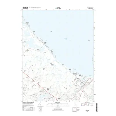
2016 Map of Lewes
USGS Topo · Published 2016About this map
Lewes and its historic maritime surroundings are deeply detailed in this coastal Delaware survey, illustrating the complex relationship between the Delaware Bay and the low-lying Delmarva Peninsula. The town's grid is bisected by the Lewes and Rehoboth Canal, showing established neighborhoods like Pilottown and Highland Acres alongside the Univ of Delaware Coll of Marine and Earth Studies Sharp Campus. For genealogists, several local burial grounds are noted, including Saint George Cem and Bethel Cem.
Find a feature on this map
145 named features on this map. Tap any name to fly to it.
Don’t see what you’re looking for? This feature index may not catch every label — zoom into the map to look around manually.
Map Details
Editions of this 2016 Lewes Map
This is the sole edition of this map. No revisions or reprints were ever made.
Other maps of this area

1917 · Millsboro
USGS Topo · 1:62,500

1918 · Cedar Creek
USGS Topo · 1:62,500

1918 · Rehoboth
USGS Topo · 1:62,500

1918 · Cape Henlopen
USGS Topo · 1:62,500

1919 · Cedar Creek
USGS Topo · 1:62,500

1937 · Cape Henlopen
USGS Topo · 1:62,500

1938 · Cedar Creek
USGS Topo · 1:62,500

1938 · Millsboro
USGS Topo · 1:62,500

1938 · Rehoboth
USGS Topo · 1:62,500

1943 · Fairmount
USGS Topo · 1:24,000