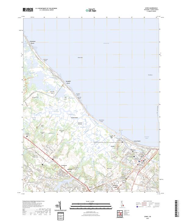
2023 Map of Lewes
USGS Topo · Published 2023About this map
The coastal interface of the Delmarva Peninsula is defined by a dense network of tidal reaches and marshlands, where the Broadkill River and Ditch Creek wind through the Great Marsh toward Delaware Bay. The settlement of Lewes sits at the nexus of these waterways, positioned along the Lewes and Rehoboth Canal and adjacent to the historic neighborhood of Pilottown. This landscape is particularly rich for genealogical research, documenting numerous burial grounds such as the Saint Peters Episcopal Churchyard Cem and Lewes Presbyterian Church Cem.
Find a feature on this map
165 named features on this map. Tap any name to fly to it.
Don’t see what you’re looking for? This feature index may not catch every label — zoom into the map to look around manually.
Map Details
Editions of this 2023 Lewes Map
This is the sole edition of this map. No revisions or reprints were ever made.
Other maps of this area

1917 · Millsboro
USGS Topo · 1:62,500

1918 · Cedar Creek
USGS Topo · 1:62,500

1918 · Rehoboth
USGS Topo · 1:62,500

1918 · Cape Henlopen
USGS Topo · 1:62,500

1919 · Cedar Creek
USGS Topo · 1:62,500

1937 · Cape Henlopen
USGS Topo · 1:62,500

1938 · Cedar Creek
USGS Topo · 1:62,500

1938 · Millsboro
USGS Topo · 1:62,500

1938 · Rehoboth
USGS Topo · 1:62,500

1943 · Fairmount
USGS Topo · 1:24,000