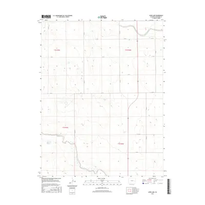
2016 Map of Lewis Lake
USGS Topo · Published 2016About this map
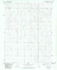
Big Sandy Creek and Rush Creek define the hydrology of this High Plains landscape in Cheyenne County, where ephemeral water sources are vital to the regional geography. This 2016 survey illustrates a largely unpopulated section of eastern Colorado, characterized by the Public Land Survey System grids of t15s r49w and t16s r48w. The presence of Lewis Lake and Skank Lake in the northern and central portions of the quadrangle, along with the State Stock Reservoir Number 7 to the west, indicates the specialized water management required for ranching in this arid environment. A network of county roads, including Co RD 16 and Co RD 22, provides the primary infrastructure connecting these remote land sections.
Find a feature on this map
19 named features on this map. Tap any name to fly to it.
Don’t see what you’re looking for? This feature index may not catch every label — zoom into the map to look around manually.
Map Details
Editions of this 2016 Lewis Lake Map
This is the sole edition of this map. No revisions or reprints were ever made.
Other maps of this area

1891 · Kit Carson
USGS Topo · 1:125,000

1893 · Kit Carson
USGS Topo · 1:125,000

1954 · Lamar
USGS Topo · 1:250,000

1958 · Lamar
USGS Topo · 1:250,000

1981 · Cheyenne Wells
USGS Topo · 1:100,000
1982 · Sorrento
USGS Topo · 1:24,000
1982 · Kit Carson
USGS Topo · 1:24,000

1982 · Kit Carson 4 NW
USGS Topo · 1:24,000
1982 · Arsenic Lake
USGS Topo · 1:24,000
1982 · Dunlap Ranch
USGS Topo · 1:24,000