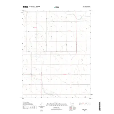
2019 Map of Lewis Lake
USGS Topo · Published 2019About this map
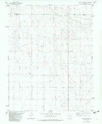
Lewis Lake and Skank Lake sit at the center of this High Plains landscape in Cheyenne County, characterized by ephemeral water bodies and a sparse, grid-like road network. The terrain is marked by intermittent drainages, most notably Big Sandy Cr in the northeast and the winding course of Rush Creek to the south. This area is defined by the Public Land Survey System, with the map clearly delineating township boundaries such as t15s r49w and t16s r48w. The infrastructure is primarily composed of rural routes like Co RD K and Co RD 20, which facilitate movement through this cattle-ranching and dry-land farming region. The isolation of the lakes amidst the surrounding plains suggests their importance as local landmarks and potential water sources in an otherwise arid environment.
Find a feature on this map
18 named features on this map. Tap any name to fly to it.
Don’t see what you’re looking for? This feature index may not catch every label — zoom into the map to look around manually.
Map Details
Editions of this 2019 Lewis Lake Map
This is the sole edition of this map. No revisions or reprints were ever made.
Other maps of this area

1891 · Kit Carson
USGS Topo · 1:125,000

1893 · Kit Carson
USGS Topo · 1:125,000

1954 · Lamar
USGS Topo · 1:250,000

1958 · Lamar
USGS Topo · 1:250,000

1981 · Cheyenne Wells
USGS Topo · 1:100,000
1982 · Sorrento
USGS Topo · 1:24,000
1982 · Kit Carson
USGS Topo · 1:24,000

1982 · Kit Carson 4 NW
USGS Topo · 1:24,000
1982 · Arsenic Lake
USGS Topo · 1:24,000
1982 · Dunlap Ranch
USGS Topo · 1:24,000