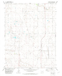
1982 Map of Lewis Lake
USGS Topo · Published 1982About this map
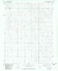
Lewis Lake and the smaller Skunk Lake provide rare catchments in this high plains landscape of Cheyenne County, Colorado. The terrain is defined by the intermittent drainage of Big Sandy Creek and Rush Creek, reflecting a semi-arid environment where water management is critical for local agriculture and industry. The presence of an Old Railroad Grade cutting across the northwestern sections indicates a shift in transportation infrastructure, as the rail lines that once moved goods across the prairie were replaced by the network of Pipelines and energy facilities seen today.
Find a feature on this map
14 named features on this map. Tap any name to fly to it.
Don’t see what you’re looking for? This feature index may not catch every label — zoom into the map to look around manually.
Map Details
Editions of this 1982 Lewis Lake Map
This is the sole edition of this map. No revisions or reprints were ever made.
Other maps of this area

1891 · Kit Carson
USGS Topo · 1:125,000

1893 · Kit Carson
USGS Topo · 1:125,000

1954 · Lamar
USGS Topo · 1:250,000

1958 · Lamar
USGS Topo · 1:250,000

1981 · Cheyenne Wells
USGS Topo · 1:100,000
1982 · Sorrento
USGS Topo · 1:24,000
1982 · Kit Carson
USGS Topo · 1:24,000

1982 · Kit Carson 4 NW
USGS Topo · 1:24,000
1982 · Arsenic Lake
USGS Topo · 1:24,000
1982 · Dunlap Ranch
USGS Topo · 1:24,000