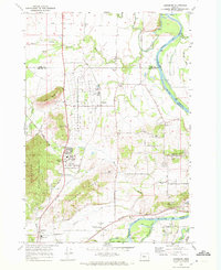
1970 Map of Lewisburg
USGS Topo · Published 1972About this map
The E E Wilson Game Management Area dominates the central landscape of this 1970 survey, occupying the grounds of the former Camp Adair. Adjacent to this conservation area, the Adair Air Force Station remains active, signifying the region's enduring military and strategic importance near the Willamette River. The map reveals a transition from the agricultural lowlands along Bowers Slough to the rising timberlands of the McDonald State Forest in the west.
Find a feature on this map
63 named features on this map. Tap any name to fly to it.
Don’t see what you’re looking for? This feature index may not catch every label — zoom into the map to look around manually.
Map Details
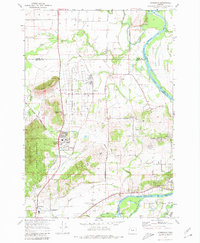
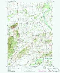
Editions of this 1970 Lewisburg Map
3 editions found
Other maps of this area

1911 · Tangent
USGS Topo · 1:31,680

1912 · Jefferson
USGS Topo · 1:31,680

1913 · Philomath
USGS Topo · 1:31,680

1913 · Oakville
USGS Topo · 1:31,680

1913 · Wells
USGS Topo · 1:31,680

1914 · Independence
USGS Topo · 1:31,680

1914 · Soap Creek
USGS Topo · 1:31,680

1915 · Sidney
USGS Topo · 1:31,680

1916 · Albany
USGS Topo · 1:62,500

1917 · Salem
USGS Topo · 1:62,500