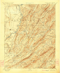
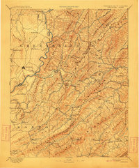
1891 Map of Lewisburg
USGS Topo · Published 1923About this map
Lewisburg and the surrounding river valleys represent a critical corridor of late 19th-century Appalachia, where the Greenbrier River and the Chesapeake and Ohio Railroad dictated the flow of commerce and travelers. This reconnaissance work, surveyed by Morris Bien in the late 1880s, documents a landscape of established settlements and nascent mountain resorts. The railroad’s crossing of the Alleghany Mountain is marked by significant engineering feats like the Alleghany Tunnel and Lewis Tunnel, which facilitated access to the mineral waters at White Sulphur Springs and Sweet Spring. Away from the main lines, the map reveals a decentralized network of small community hubs such as Van Staverns Mill, Second Creek P.O., and Frankford. These locations, along with family-named features like O'Neils Knob and Nicholls Knob, provide a dense record of early West Virginia and Virginia borderland genealogy and settlement patterns.
Find a feature on this map
103 named features on this map. Tap any name to fly to it.
Don’t see what you’re looking for? This feature index may not catch every label — zoom into the map to look around manually.
Map Details
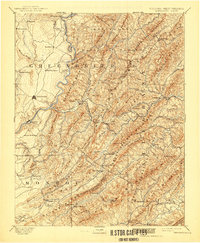
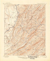
Editions of this 1891 Lewisburg Map
8 editions found
Other maps of this area

1887 · Hinton
USGS Topo · 1:125,000

1887 · Lewisburg
USGS Topo · 1:125,000

1889 · Nicholas
USGS Topo · 1:125,000

1890 · Roanoke
USGS Topo · 1:125,000

1890 · Dublin
USGS Topo · 1:125,000

1890 · Christiansburg
USGS Topo · 1:125,000

1891 · Roanoke
USGS Topo · 1:125,000

1891 · Lewisburg
USGS Topo · 1:125,000

1891 · Nicholas
USGS Topo · 1:125,000

1891 · Huntersville
USGS Topo · 1:125,000