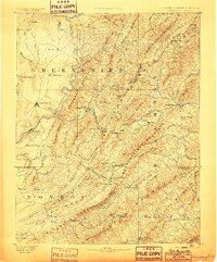
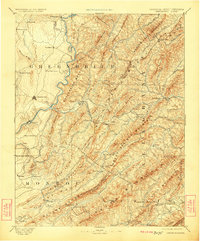
1891 Map of Lewisburg
USGS Topo · Published 1899About this map
The Greenbrier and Monroe county borderlands are defined by the towering ridgelines of the Alleghany Mountains and the winding course of the Greenbrier River in this late 19th-century survey. The landscape reflects a transition from the agricultural valleys near Lewisburg and Frankford to the specialized industry of the high gaps. The Chesapeake and Ohio Railroad is the primary artery of the region, piercing the continental divide through the Alleghany Tunnel and the Lewis Tunnel near Alleghany Station.
Find a feature on this map
85 named features on this map. Tap any name to fly to it.
Don’t see what you’re looking for? This feature index may not catch every label — zoom into the map to look around manually.
Map Details
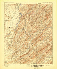
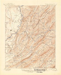
Editions of this 1891 Lewisburg Map
8 editions found
Other maps of this area

1887 · Hinton
USGS Topo · 1:125,000

1887 · Lewisburg
USGS Topo · 1:125,000

1889 · Nicholas
USGS Topo · 1:125,000

1890 · Roanoke
USGS Topo · 1:125,000

1890 · Dublin
USGS Topo · 1:125,000

1890 · Christiansburg
USGS Topo · 1:125,000

1891 · Roanoke
USGS Topo · 1:125,000

1891 · Lewisburg
USGS Topo · 1:125,000

1891 · Nicholas
USGS Topo · 1:125,000

1891 · Huntersville
USGS Topo · 1:125,000